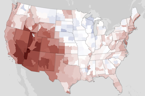
The Southwest received a double-whammy welcome to summer in June: the region was both much hotter and much drier than usual.
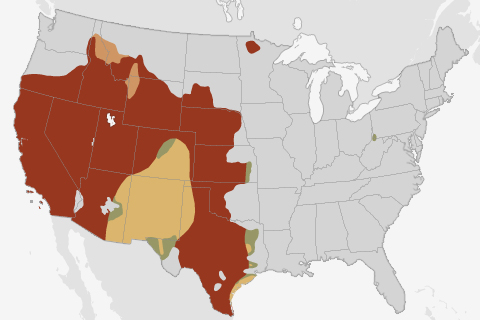
Summer thunderstorms are likely to improve drought conditions in the Southwest, but drought will likely persist across much of the West.
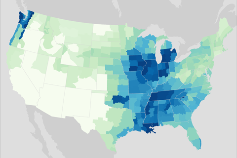
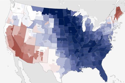
Rain and snow across the contiguous United States during April 2013.
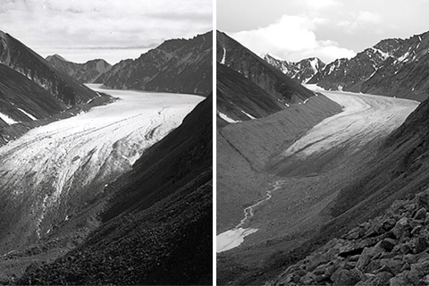
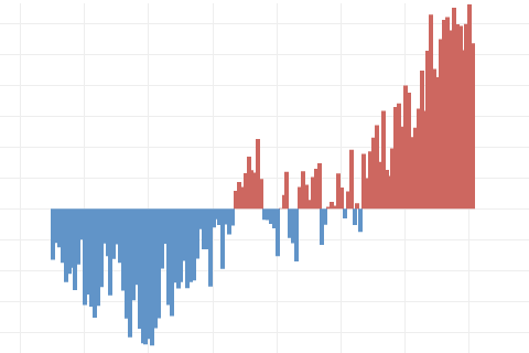
Data from 2010 indicate that mountain glaciers predominantly lost mass, and preliminary data from 2011 indicate a continuation of the same long-term trend.

What began as an ordinary Sunday on August 21, 2011, became anything but ordinary for residents of Goderich, Ontario, as an EF-3 tornado (winds between 136-165 mph) ripped through their historic town.
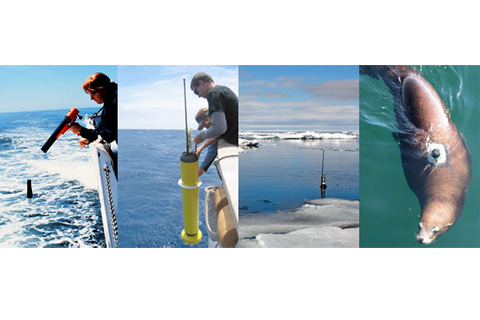
More than 90 percent of the warming that has happened on Earth over the past 50 years has occurred in the ocean. Not all of that heating is detectable yet at the surface
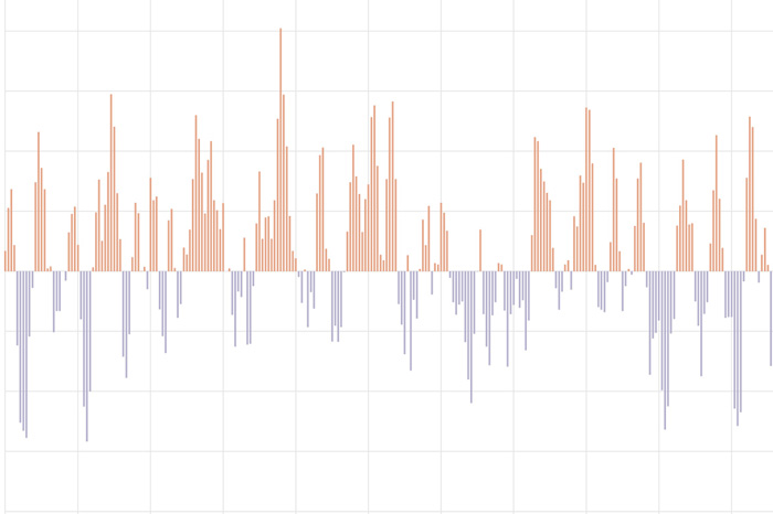
The Pacific-North American teleconnection pattern influences regional weather by affecting the strength and location of the East Asian jet stream, and subsequently, the weather it delivers to North America.
Earth's surface temperature has risen about 2 degrees Fahrenheit since the start of the NOAA record in 1850. It may seem like a small change, but it's a tremendous increase in stored heat.
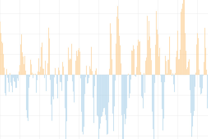
The North Atlantic Oscillation tracks a seesawing of surface pressure between two parts of the North Atlantic. Different phases often bring predictable changes in winds, temperature, and precipitation in the United States and Europe.
During March 2013, most of the eastern United States was notably cooler than average, with the exception of New England. Along the Rockies, temperatures were closer to normal.