
On Tuesday, November 19, NOAA sea level rise expert William Sweet answered questions in a Climate.gov tweet chat about sea level rise and U.S. high-tide flooding.
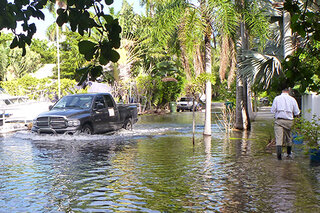
King tides cause flooding in Florida in fall 2017
November 8, 2017
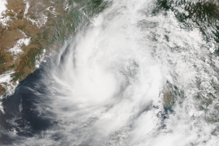
Cyclone Mora hits vulnerable Bangladesh
June 9, 2017
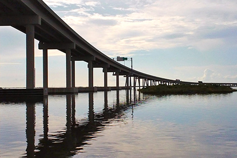
For three days in 2005, flooding from Hurricane Katrina cut off the only road to Port Fourchon. Officials had to decide: did the risk of future flooding justify the cost of raising the roadway out of the Gulf's rising waters?
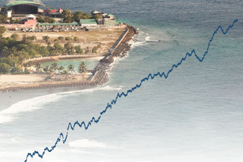
In 2014, global average sea level was 2.6 inches (67 mm) above the 1993 average, which is the highest yearly average in the satellite record.
As sea level has changed, so has the way we measure it. Here’s a look at some of the technologies climate and marine scientists have used to track Earth’s tides and global sea level over the past two centuries.
In 2013, global average sea level was 1.5 inches above the 1993-2010 average, which is the highest yearly average in the satellite record (1993-present). Overall, sea level continues to rise at a rate of one-eighth of an inch per year.
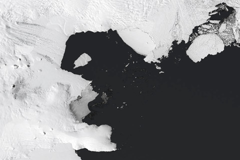
Why on Earth are climate scientists so interested in the West Antarctic ice sheet? This remote region of the seventh continent has been the subject of many recent research explorations--the results of which have been described in the news with words like “collapse,” “irreversible,” and “huge.”
Every year hundreds of scientists from scores of countries team up to give the Earth's climate a comprehensive physical. Edited by NOAA scientists and published by the American Meteorological Society, the State of the Climate in 2015 draws on tens of thousands of observations of everything from forest fires to fish migration to catalog climate variability and change.
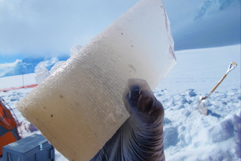
Like a prehistoric fly trapped in amber during dinosaurs' days, airborne relics of Earth's earlier climate can end up trapped in glacial ice for eons. How do climate scientists turn those tiny relics into a story about Earth's ancient climate?