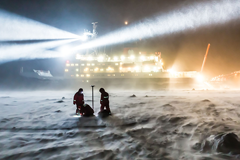
In 2015, NOAA's Climate Program Office (CPO) invited grant proposals from sea ice and climate scientists looking to better understand and predict Arctic sea ice behavior, on timescales ranging from days to decades. This is our second story on some of the resulting research.
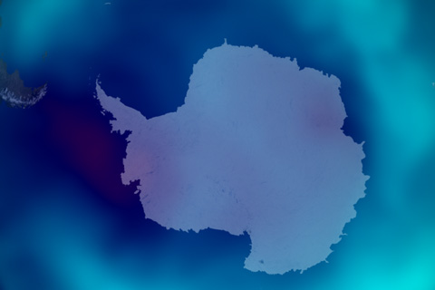
The seasonal Antarctic ozone hole was the smallest on record in 2019, thanks to a warmer-than-average September.
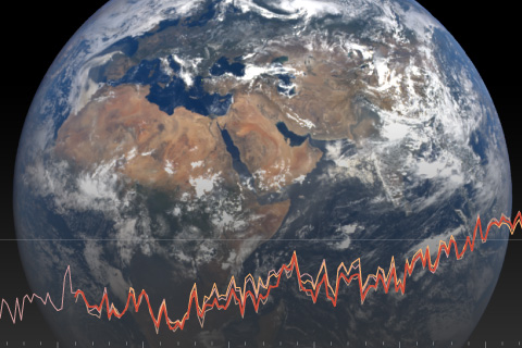
International, authoritative climate report states 2018 was the fourth warmest year on record.
Updated through 2022, this collection includes temperature and precipitation images for D.C., Alaska, and selected Hawaii stations.
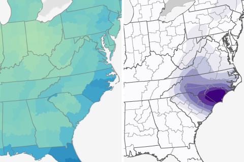
How do rainfall totals predicted for Florence compare to an average September in the U.S. Southeast?
In the bull's-eye of heaviest rainfall predicted for Hurricane Florence, parts of North and South Carolina may see more than 4 times their average September rainfall in a single week.
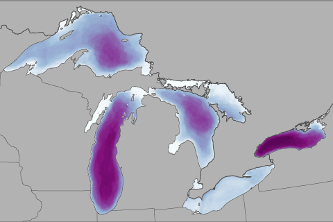
Ice cover on the Great Lakes has been decreasing since the 1970s, affecting everything from fishing to shipping.
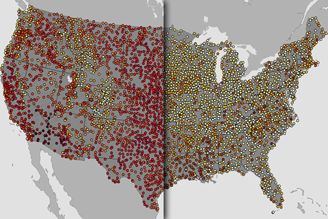
Find the hottest summer day for thousands of U.S. stations with this interactive map.
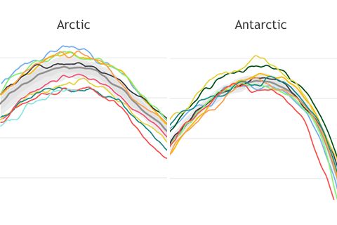
Compared to their smooth appearance at other times of year, the lines tracking Arctic and Antarctic sea ice extent become wiggly. Why is that?
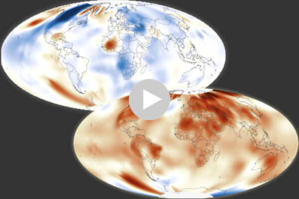
History of Earth's surface temperature 1880-2016
January 17, 2017
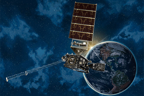
Providing more timely and accurate information over the western hemisphere, total lightning mapping, and higher resolution images streaming down from space more often, the new GOES satellite marks the first major redesign of the nation’s operational Earth-observing technology in more than 20 years.