Blogs
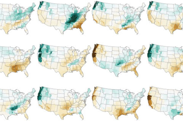
In a year when many traditions have been disrupted, I’m happy to say one remains intact—my annual blog post on NOAA’s Winter Outlook! (1) This year is a bit different from some of my recent winter outlook posts because there’s no need to wait around to see if either El Niño or La Niña will develop in time to impact winter. Instead, the tropical Pacific is already taking center stage, and it doesn’t want to give up the spotlight any time soon.
La Niña steals the show
La Niña developed during late summer and has strengthened, leaving virtually no doubt that it will persist through the winter. So, what does that mean for temperature and precipitation across the United States over the next…
Read article
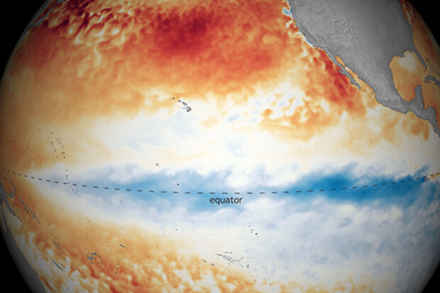
La Niña strengthened over October, with both the tropical Pacific Ocean and the atmosphere clearly reflecting La Niña conditions. Forecasters estimate at least a 95% chance La Niña will last through the winter, with a 65% chance of it hanging on through the spring.
The October sea surface temperature anomaly (departure from the long-term average) in the Niño 3.4 region of tropical Pacific was -1.3°C according to the ERSSTv5 dataset, substantially cooler than the La Niña threshold of -0.5°C. This is the eighth-strongest negative October value in the ERSSTv5 record, which dates back to 1950. I’ll talk more about feats of strength (vis-à-vis La Niña, that is) later.
Let’s count our ch…
Read article
We often get asked how El Niño or La Niña events form and increase in strength. The key is in the ocean-atmosphere coupling across the tropical Pacific Ocean. Without it, ENSO would not exist, and it would be considerably more difficult to predict climate impacts seasons in advance. Various ingredients of the ocean have to be combined with the atmosphere in order for ENSO to blossom and grow. Flour and yeast also would be pretty boring and inert on their own, but when put together, they reinforce each other, the combined product increases in size, and eventually it releases the heavenly scents of fresh baked bread. That’s right, I’m basically saying ENSO is fresh baked bread (…
Read article
La Niña’s reign continues in the tropical Pacific, with an approximately 85% chance of lasting through the winter. Forecasters currently think this La Niña will be on the stronger side.
Let’s check in with the tropical Pacific
The temperature of the ocean surface in the Niño3.4 region was about 0.8°C cooler than the 1986–2015 average, according to the ERSSTv5 dataset. We monitor the Niño3.4 index with a few different temperature datasets—more on that here—but they are all comfortably below the La Niña threshold of -0.5°C. The three-month-average Niño3.4 index, called the Oceanic Niño Index (remember this for later!) was -0.6°C. The Oceanic Niño Index is our primary metric for the El Ni…
Read article
Marybeth Arcodia is an Atmospheric Science Ph.D. Candidate at the University of Miami Rosenstiel School of Marine and Atmospheric Science. She works with Dr. Ben Kirtman (previous ENSO Blog guest writer) studying climate variability and predictability. Along with a few members from her lab group, Marybeth helped create a subseasonal-to-seasonal forecasting blog called Seasoned Chaos, for scientists and non-scientists alike. Her research looks at how particular atmospheric and oceanic conditions in the tropical Indian and Pacific Oceans can affect weather and extreme events in the United States to lead to more confident climate forecasts on two week to two month time scales. She received her …
Read article


