Blogs
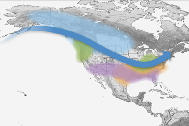
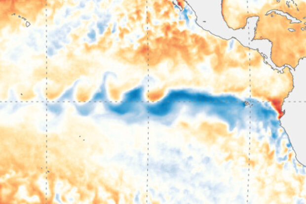
La Niña conditions were present in August, and there’s a 75% chance they’ll hang around through the winter. NOAA has issued a La Niña Advisory. Just how did we arrive at this conclusion, and what does a La Niña winter portend? Read on to find out!
Checking the boxes
Let’s revisit our La Niña decision tree.
The answer to the first question, “Is the monthly Niño3.4 sea surface temperature anomaly equal to or less than -0.5°C?” is an easy “yes.” August’s value was -0.6°C according to our most consistent sea surface temperature dataset, the ERSSTv5 (though that is not the only SST dataset we monitor). For a quick refresher, the Niño3.4 sea surface temperature anomaly is the differen…
Read article
This is a guest post by Dr. Sang-Ki Lee, a physical oceanographer at the NOAA Atlantic Oceanographic and Meteorological Laboratory in Miami, Florida. His research focuses on the interactions between the atmosphere and ocean, and how these interactions impact extreme weather and global climate.
Do you know that El Niño has a little brother?
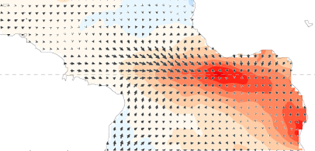
Yes, El Niño does have a little brother who lives just across the South American continent in the Atlantic Ocean. His name is Atlantic Niño, and he has an uncanny resemblance to his big brother: Like El Niño, Atlantic Niño is characterized by warmer-than-average sea surface temperatures in the eastern equatorial basin and weaker-than-average tra…
Read article
The chance of La Niña developing this fall is up slightly from last month, at around 60%. Our La Niña Watch continues!
Becalmed
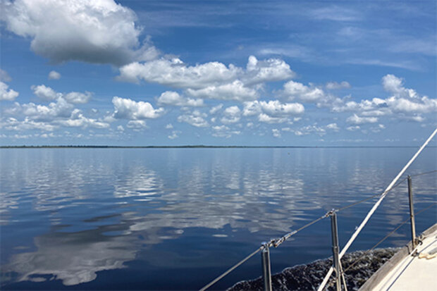
The Oceanic Niño Index—the three-month mean sea surface temperature anomaly (difference from the long-term mean, 1986-2015 in this case) in the Niño3.4 region—was -0.2°C during May–July 2020. The Oceanic Niño Index is our official metric for ENSO (El Niño/Southern Oscillation). -0.2°C is solidly in the “neutral” category of greater than -0.5°C and less than 0.5°C, so we continue in ENSO-neutral conditions for now.
The current 60% chance of La Niña is largely based on the dynamical computer models, most of which slightly favor La Niña in the fall and win…
Read article
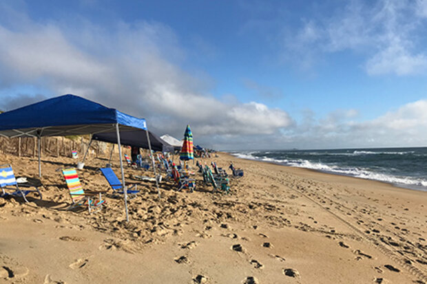
After so many months cooped up inside trying to flatten the COVID-19 curve, many of us are ready for the great outdoors. Patio furniture is flying off store shelves, gardens are springing to life, and outdoor BBQs are becoming the socially distant events of the season. But as we look to the outdoors in our quest for a bit of normalcy, it is important to remember that basking in the sunshine comes with its own health risks from the Sun’s ultraviolet (UV) radiation. Oh great, something else to worry about. But before you decide it’s safer to permanently relocate under your bed, avoiding the harmful UV effects is relatively easy. All we need is a little understanding of UV radiation, a forecast…
Read article
ENSO is still in neutral, and likely to continue so through the summer. However, the 50-55% chance of La Niña developing in the fall and lasting through winter means NOAA has hoisted a La Niña Watch.
What’s a Watch?
I’ve been writing these blog posts for more than six years now, and the terminology La Niña Watch still makes me picture someone peering out their window, binoculars trained on the horizon, waiting for La Niña to pop up. That wouldn’t be a great use of your time, though, as a Watch means the forecast favors the development of La Niña conditions within the next six months. (Also, of course, La Niña—just like El Niño—is a seasonal ocean/atmosphere pattern that develops in the…
Read article
