Blogs
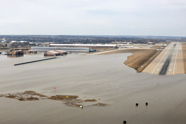
Borrowing one of meteorology’s great euphemisms, this spring has been “an active one” in much of the country. The Plains and Upper Midwest experienced huge events in back-to-back months. March brought an explosive winter storm to much of the region, and a cascade of events that led to historic flooding from Nebraska to Wisconsin. April gave us a more canonical blizzard, a winter storm with snowfall measured in feet.
So what happened? How does this fit into history? How does April bring the huge storms? Some answers follow. Let’s go Beyond the Data.
The March Cyclone and Floods
Understanding what happened in March requires going back several weeks in time to examine the condition…
Read article
Forecasters estimate a 70% chance that our current El Niño will continue through the summer, and a 55-60% chance it will extend into the fall.
Just a number
El Niño conditions were still evident across the tropical Pacific Ocean during April, as the sea surface temperature in the Niño3.4 region averaged about 0.7°C warmer than the long-term average (via the ERSSTv5 database). Most computer models predict that the ocean surface will stay warmer than average in the Niño3.4 region, with the majority of predictions remaining above the El Niño threshold of 0.5°C through next fall.
However, there is a broad range of potential outcomes shown here, and we’re still within the spring pred…
Read article
Some people like to sleep on their backs. Some people prefer to sleep on their stomachs or on their sides. Some people don’t sleep much at all! There are certain states we gravitate to when we sleep, often to maximize comfort. They are our preferred states. Would you be surprised if I were to tell you the atmospheric circulation operates in the same way, that certain patterns or flows appear more often than others because we’re not the only ones who like routine? One of these preferred states is the Pacific-North American Pattern, or as we scientists like to shorthand it: The Almighty P-N-A! (Ok, we don't shout “Almighty!” every time… we whisper it.)
I know the presence of…
Read article
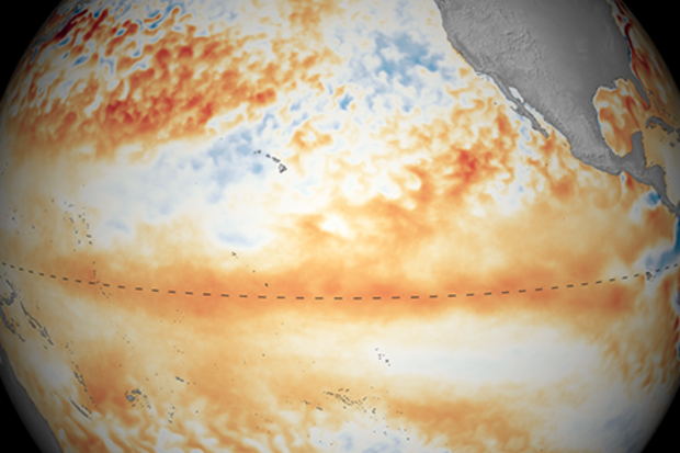
The Great Puny El Niño of 2018–19 continued through March, and forecasters predict it will likely remain through the summer and possibly continue into the fall. The tropical Pacific Ocean shows El Niño’s fingerprint clearly, with warmer-than-average sea surface temperatures stretching across the equator.
Birds fly here
The El Niño atmospheric response was also apparent in March, with continued greater-than-average cloudiness and rain near the International Date Line. This is the weakened Walker Circulation pattern, due to more rising air than average over the central Pacific as the warmth of the ocean is transferred to the air above. Both the regular-flavor Southern Oscillation In…
Read article
Winter is over. Some of you may be thinking “About time!” For others, it may be “When did it start?” And for a select few, it’s “Tell that to the snow outside my window.” With the season having ended, it is time for my annual review (see previous reviews here and here) of how NOAA’s Climate Prediction Center’s Winter Outlook did.
This will involve some necessary math, so feel free to brush up via one of the plethora of posts I’ve written previously—located here, here, here, and here—dealing with just how we verify the outlook. As a quick refresher, remember that the underlying basis for seasonal forecasts is that, in the absence of any strong influence to the contrary, the default probabi…
Read article


