Blogs
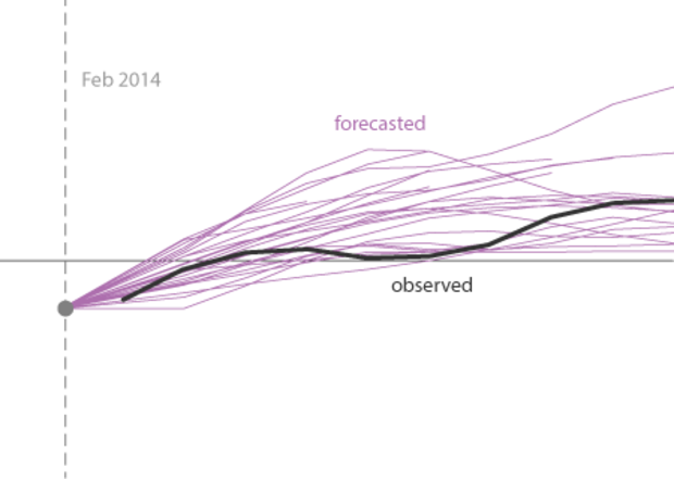
Believe it or not, we ENSO forecasters follow what is being written on various news sites, blogs, and social media. Some of us have twitter accounts: @ejbecker and @TDiLiberto. And don’t forget to follow @NOAAClimate for updates on our latest posts. You inspire us! Many of the topics in our blog come from your questions or ideas you provide. You lead us to think a little harder about the questions we’d like to investigate. And, as of late, we have noticed that there has been some chatter about how the models were wrong about their prediction of El Niño during 2014. Is this true? The answer may surprise you.
In the figure below are model predictions for ENSO created during Janu…
Read article
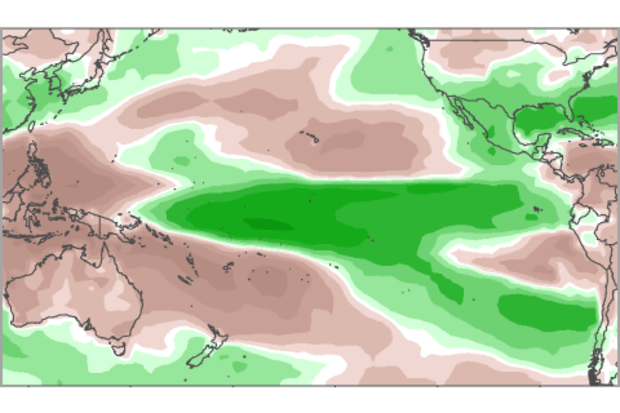
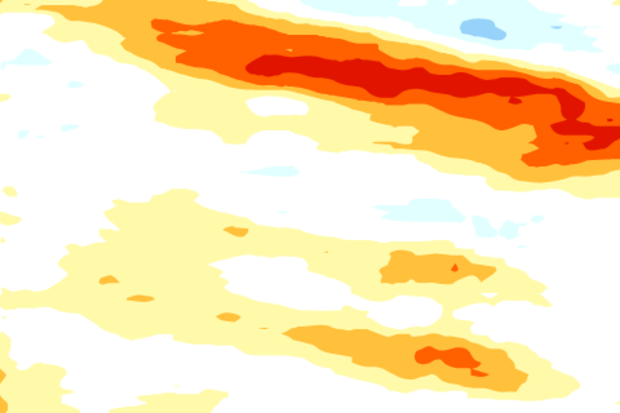
Since October 2014, sea surface temperatures (SST) across the tropical Pacific have exceeded the thresholds of weak El Niño (1), but the atmosphere has failed to really participate. Otherwise, we’d have seen above-average convection (thunderstorm activity) in the central tropical Pacific Ocean, a weakening of the surface trade winds, and a lowering of the Southern Oscillation Index and the Equatorial Southern Oscillation Index (2)—none of which showed up consistently.
However, how much does the atmosphere matter? Can the warm SSTs alone have global climate impacts? While the answer may vary depending on location and type of impact (3), here we ask whether the most recent season (the Novem…
Read article
At the beginning of this month, we find ourselves looking at conditions in both the ocean and the atmosphere that appear a bit like El Niño. Sea surface temperature anomalies in the Niño3.4 region have been at or above +0.5°C for the last few months, and the forecast calls for a 50-60% chance the Niño3.4 index will remain above +05°C through the late winter and into spring. However, we still haven’t checked the box saying we have “El Niño conditions.” Why not?
Mostly, it's because even though there are some promising signs that the atmosphere may be responding to the warmer equatorial Pacfic, we've seen a lot of fluctuations over the past year. It will take more than a couple of wee…
Read article
Some people have probably noticed that over the past year, this blog has mentioned several different ways to measure and monitor ENSO—whether we are in an El Niño, La Niña, or neither. At NOAA, the official ENSO indicator is the Oceanic Niño Index (ONI), which is based on sea surface temperature (SST) in the east-central tropical Pacific Ocean. But we have also mentioned other ways of measuring ENSO. Here, we will review some of them and then provide reasons why several different indicators are best for monitoring ENSO.
Historically, an index has been a common way to summarize the ENSO status. An index is a number scale in which all the individual factors needed to describe a complicated …
Read article
*Okay, maybe not.
While not as popular as “polar vortex,” oceanic Kelvin waves did break into media reports in early 2014 (here, here, here) when a really strong wave traveled eastward across the tropical Pacific Ocean. In this post, we’ll go into a little more detail on what these waves are and why they are important in ENSO prediction. And if Kelvin waves ever get as popular as the polar vortex some day, we are confident our readers will be able to describe them in a way that doesn’t generate a heavy sigh from scientists.
Not all waves curl and crash
The waves that most of us are familiar with are the waves at the beach—waves that e…
Read article


