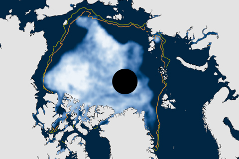
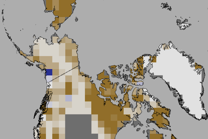
Averaged over September 2013, sea ice extent was 2.07 million square miles—larger than last year's record low, but still more than 17 percent below average and the sixth smallest September extent on record.
To be consistent with NOAA's use of 30-year periods for the official "climate normals," the National Snow and Ice Data Center switched its baseline period for sea ice analyses from 1979-2000 to 1981-2010. Compared to the new normal, the low ice conditions of the recent past will appear less abnormal than they used to.

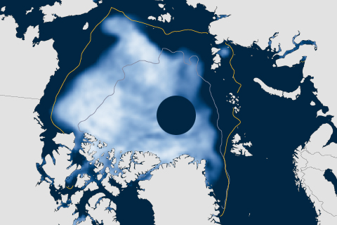
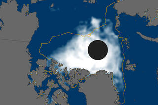
In 2012, sea ice melted to a record-breaking minimum extent. At the end of the summer melt season, ice covered only about half of the average area it did from 1979–2000.
In June 2012, snow cover extent over Eurasia and North America hit a new record low. It is the third time in five years that North America has set a new record low, and the fifth year in a row that Eurasia has. The rate of snow cover loss over Northern Hemisphere land areas in June between 1979 and 2012 is -17.6% per decade—a faster decline than September sea ice loss over the same period.
Arctic Sea Ice Breaks 2007 Record Low
August 27, 2012

In September 2011, Arctic sea ice reached its second-lowest minimum extent in the satellite record.
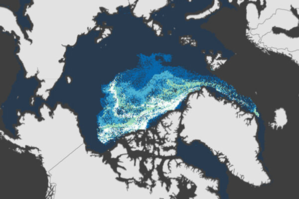
NOAA scientists have documented a new impact of the increasingly thin blanket of Arctic sea ice: gases escaping from the thinner ice in spring are affecting air chemistry, reducing ground-level ozone, and likely increasing mercury contamination.
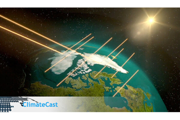
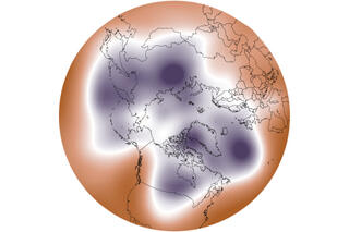
Explaining Why Climate Change is Amplified at the Poles
January 20, 2012