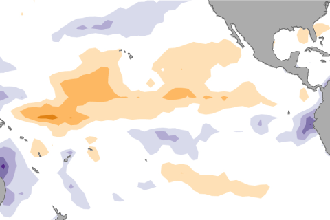
Neutral conditions are expected to continue in the Pacific with chances increasing for El Nino by the fall. Our blogger fills you in on the latest developments across the Pacific.

Neutral conditions are expected to continue in the Pacific with chances increasing for El Nino by the fall. Our blogger fills you in on the latest developments across the Pacific.
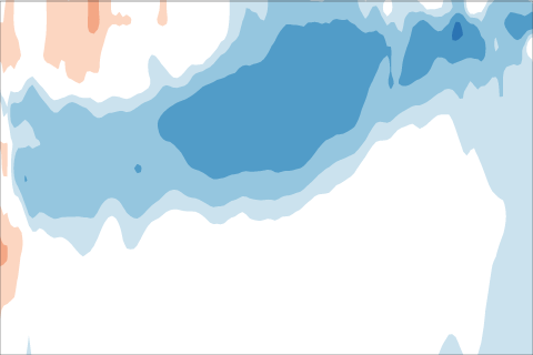
Blogger Tony Barnston describes how the transition from ENSO-neutral toward La Niña is progressing, and explains why models have become somewhat less bullish on the certainty and strength of the La Niña.
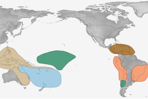
El Niño is the 800-pound gorilla for the winter climate in the U.S., but in summer, it's more like a 6-pound Chihuahua.
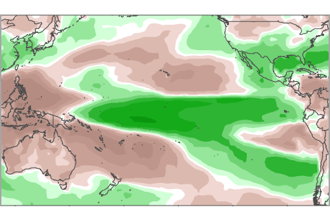
For more than 6 months, NOAA has been issuing El Niño watches, but never an advisory. Here we show whether recent patterns in precipitation resemble those expected during El Niño.
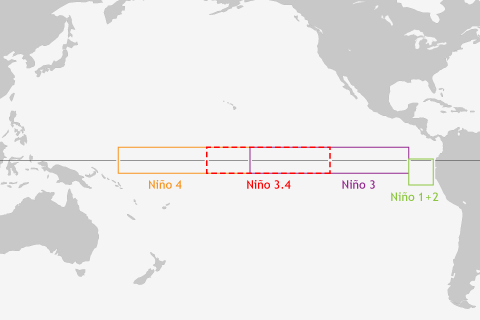
ENSO blogger Tony Barnston explains why climate forecasters can't get by with just a single indicator for predicting El Niño and La Niña.
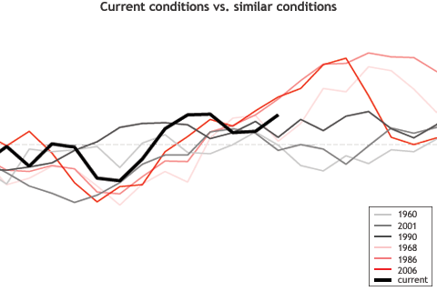
Although ENSO forecasting using past case analogs is fun, even slight dissimilarities between the past cases and the present case are certain to mess up the forecast.
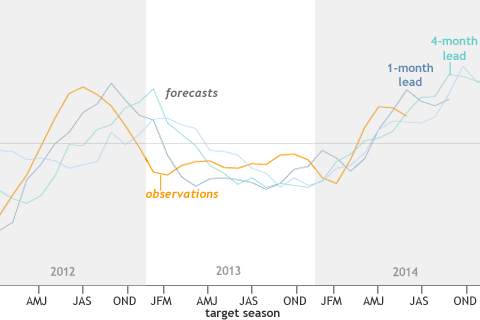
The forecasts often provided useful information for the coming few months, but had more limited accuracy and value in forecasting beyond that.
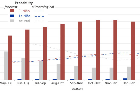
We’d like our forecasts—both weather and climate—to be simple and certain. Because of the fluid and chaotic nature of the ocean and atmosphere, however, forecasts are never about certainty: they’re about probability.
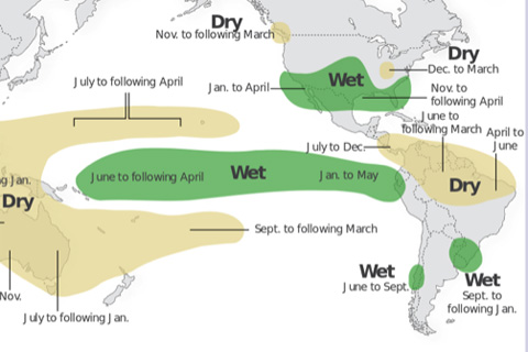
ENSO arises from changes across the tropical Pacific Ocean. So why does ENSO affect the climate over sizable portions of the globe, including some regions far removed from the tropical Pacific Ocean?