
Image caption
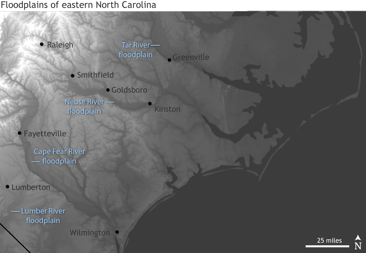
A digital elevation map of North Carolina shows the higher elevations (white) and narrower stream channels of the Piedmont part of the state and the nearly flat terrain of the Coastal Plain with its numerous broad floodplains (dark gray). Many cities sit within their adjacent river's floodplain. NOAA Climate.gov image, based on data from the USGS.