
Image caption
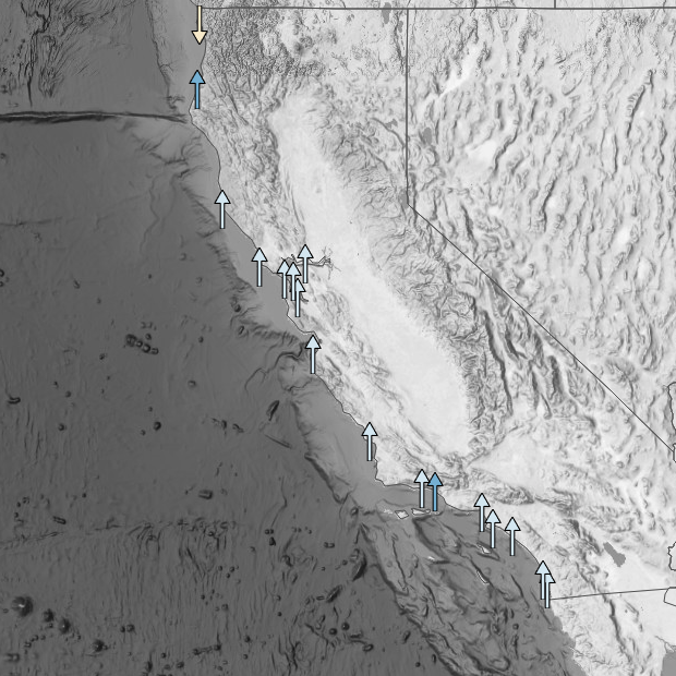
West Coast stations are generally experiencing rates of sea level rise that are close to the global average. Screenshot from Climate.gov/NOAA CO-OPS interactive map of local sea level rise.
This website is an ARCHIVED version of NOAA Climate.gov as of June 25, 2025.
Content is not being updated or maintained, and some links may no longer work.
West Coast stations are generally experiencing rates of sea level rise that are close to the global average. Screenshot from Climate.gov/NOAA CO-OPS interactive map of local sea level rise.