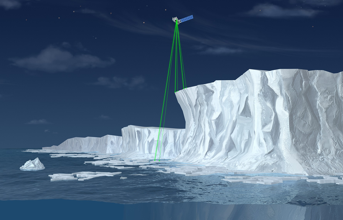
Image caption
This artist’s illustration of the ICESat 2 satellite shows how its six green laser beams measure the height and extent of an ice shelf. Credit: NASA.
This website is an ARCHIVED version of NOAA Climate.gov as of June 25, 2025.
Content is not being updated or maintained, and some links may no longer work.
This artist’s illustration of the ICESat 2 satellite shows how its six green laser beams measure the height and extent of an ice shelf. Credit: NASA.