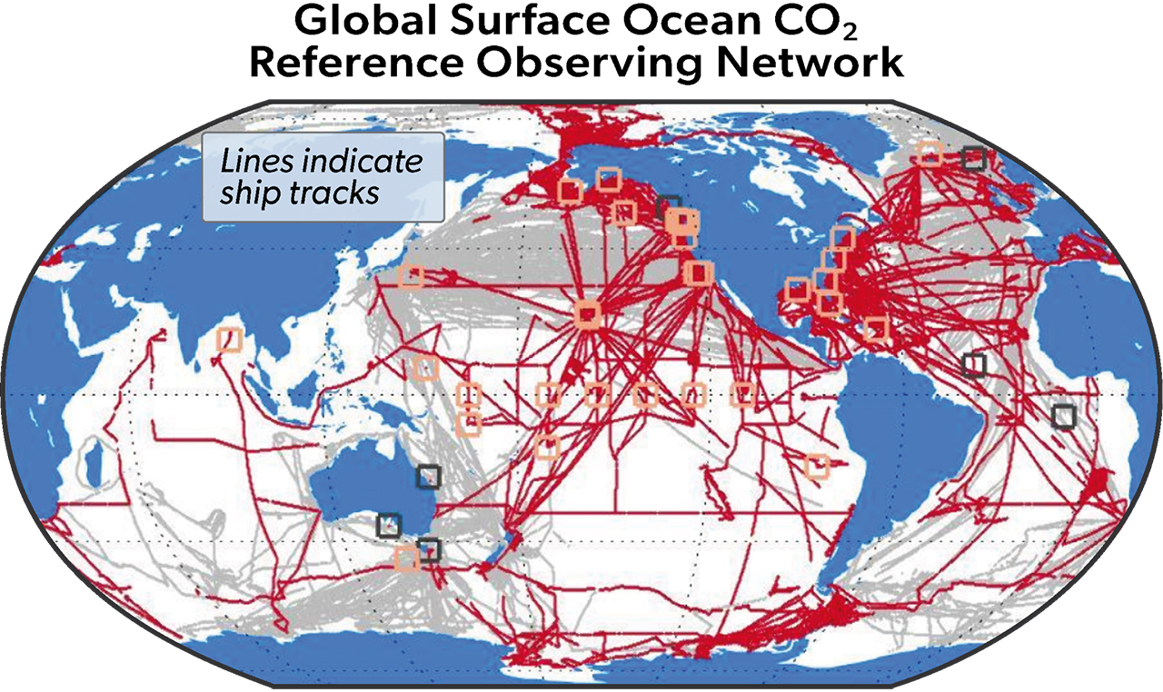
Image caption
This map shows the locations where measurements of carbon dioxide at the ocean’s surface have been made around the world for at least a decade. Red lines show the tracks of NOAA ships and uncrewed surface vehicles; gray lines show non-NOAA watercraft. Red squares show locations of NOAA's moored buoys; gray squares show non-NOAA buoys. Credit: NOAA GML