
Image caption
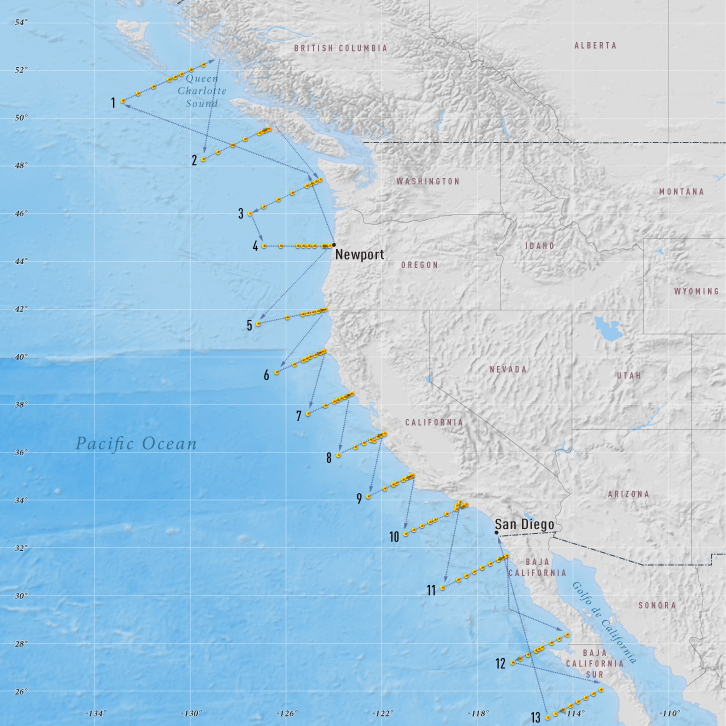
The map shows the path of the Research Vessel Wecoma during the NACP West Coast Survey Cruise. The yellow dots represent station locations, where the crew collected ocean water samples.
This website is an ARCHIVED version of NOAA Climate.gov as of June 25, 2025.
Content is not being updated or maintained, and some links may no longer work.
The map shows the path of the Research Vessel Wecoma during the NACP West Coast Survey Cruise. The yellow dots represent station locations, where the crew collected ocean water samples.