
Image caption
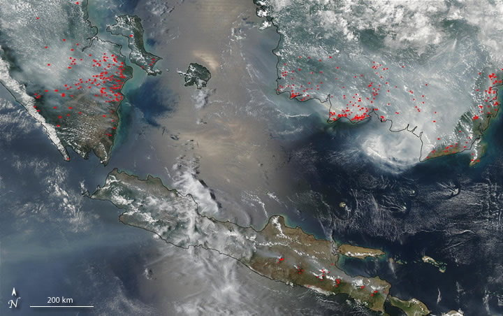
Smoke blankets the western portion of Indonesia during a moderate El Niño late in 2002. Red dots indicate areas where fires were actively burning. MODIS image courtesy of NASA.
Smoke blankets the western portion of Indonesia during a moderate El Niño late in 2002. Red dots indicate areas where fires were actively burning. MODIS image courtesy of NASA.