
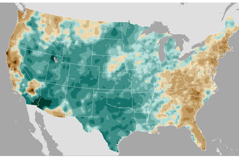
The nationwide average precipitation was the highest ever recorded in 121 years. Devastating floods ended a multi-year drought in the Southern Plains.
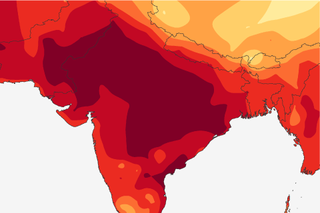
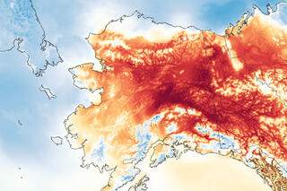
India heat wave kills thousands
June 9, 2015
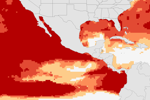
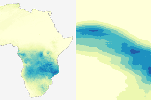
After an intense start to 2015, the waters of the South Pacific are finally cooling off, bringing relief to corals. But NOAA scientists expect stressful conditions to spread into the northeast Pacific and the Caribbean this summer.
Scienitsts find connection between El Niño and fewer spring tornadoes in the south-central United States.
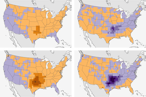
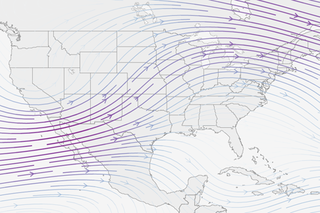
![June Outlook: Heat for the West, more rain in the Plains [Updated]](/sites/default/files/juneoutlook-monthly-cpc-480.jpg)
The monthly climate outlook for June favors more heat for Alaska and the West, more rain for Texas and the East.
Flood disaster in Texas and Oklahoma
June 2, 2015

Community groups are working to establish a connected ring of conservation land around St. Louis, Missouri. They're also incorporating economic data with flood models to help them target areas that will also provide flood protection.
A post for map geeks. How to turn an animation of a year's worth of daily rain maps into a single picture.