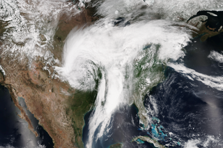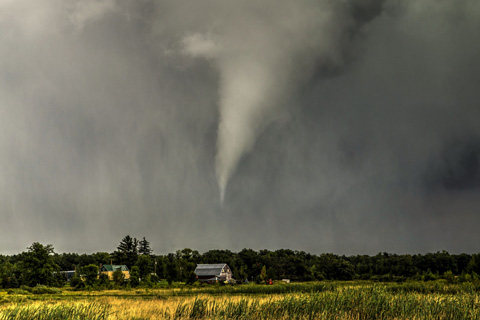
The 2017 tornado season across the United States has gotten off to an active start. As of April 22, 570 tornadoes have been reported, which is almost a hundred more than average.
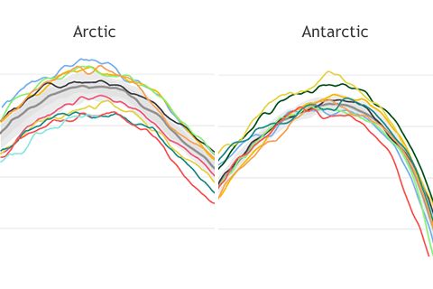
Compared to their smooth appearance at other times of year, the lines tracking Arctic and Antarctic sea ice extent become wiggly. Why is that?
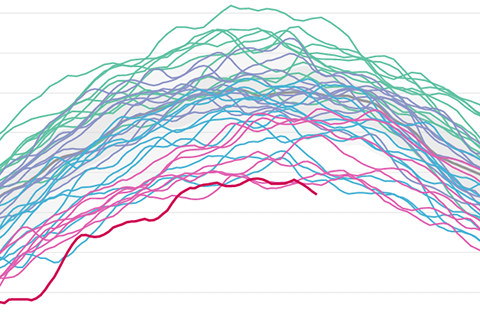
Despite being at opposite points of the annual cycle, the Arctic and Antarctic had something in common in March 2017: record-low sea ice extents.
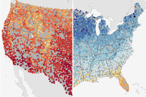
Based on historical climate data from thousands of stations across the United States, these maps show the warmest and coldest daytime high temperatures ever recorded at a given location on March 19—the astronomical first day of spring.
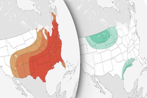
2017 U.S. spring climate and flood outlook
March 16, 2017
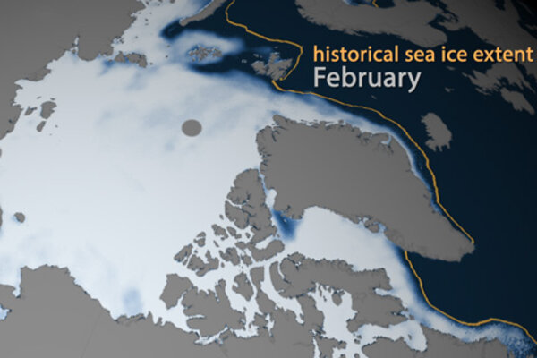
Arctic sea ice on track to be among smallest winter maximums on record
February 17, 2017
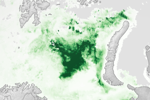
Springtime melting and retreating sea ice allowed more sunlight to reach the upper layers of the ocean, stimulating widespread blooms of algae and other tiny marine plants which form the base of the marine food chain: a sign of the rapid changes occurring in a warming Arctic.
