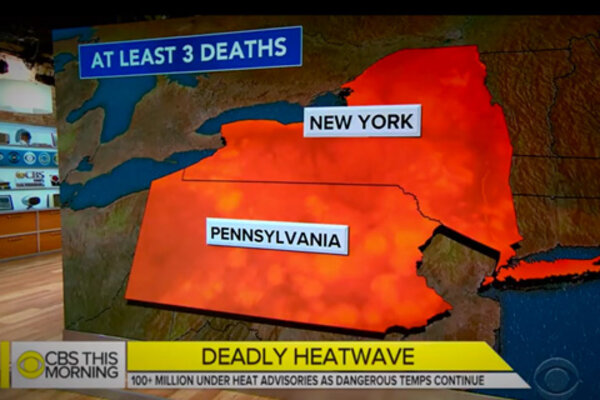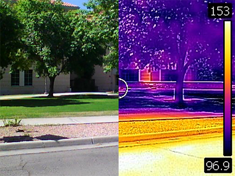
Join three heat experts to talk about how we map, monitor, and lessen the impacts of urban heat islands.
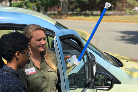
With specially designed sensors mounted on their own cars, volunteers in each city will drive pre-planned routes, recording heat and humidity as they go. Scientists will stitch their results into a detailed map showing the hottest parts of each city.
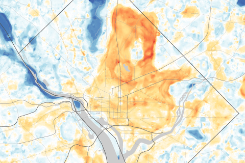
Use a slider to compare satellite images of Washington, DC, and Baltimore, MD, with maps of afternoon temperatures to see the hottest and coolest parts of the city on a late summer day.
NOAA is helping the CDC build a new heat-health information system to help protect Americans from sweltering summers.
