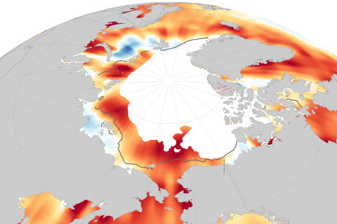
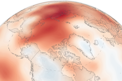
August sea surface temperatures in the Arctic are rising by as much as 1 degree Celsius (1.8 degrees Fahrenheit) per decade.
The 15th installment of NOAA's Arctic Report Card NOAA's 15th Arctic Report Card catalogs the numerous ways that climate change continues to disrupt the polar region.
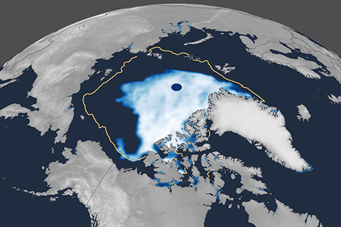
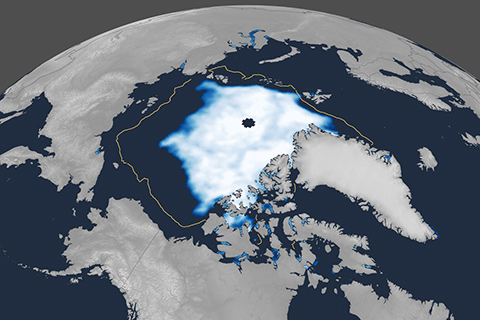
Arctic sea ice extent likely reached its annual minimum for 2020 on September 15. For the second time in the satellite record, sea ice extent dipped below 1.5 million square miles (4 million square kilometers).
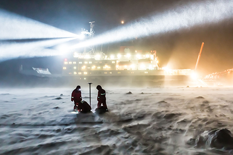
In 2015, NOAA's Climate Program Office (CPO) invited grant proposals from sea ice and climate scientists looking to better understand and predict Arctic sea ice behavior, on timescales ranging from days to decades. This is our second story on some of the resulting research.

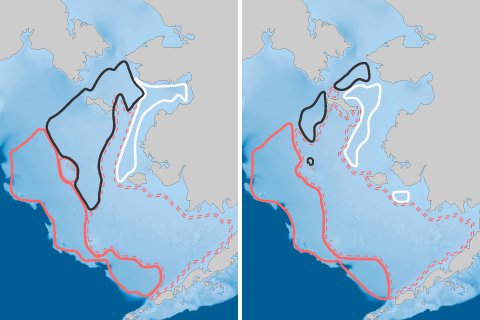
Arctic sea ice extent reached its apparent annual maximum on March 5, 2020. It was the 11th-lowest maximum in the 42-year satellite record. Though nowhere near a record low, it was well below the 1981–2010 average.
NOAA’s 14th Arctic Report Card recounts the numerous ways that climate change continues to disrupt the polar region, including massive melt of the Greenland ice sheet and major shifts in the distribution of commercially valuable marine species.
In 2019, the area of the Arctic Ocean where the summer sea ice cover was at least 15 percent tied with 2007 and 2016 as the second-smallest on record.
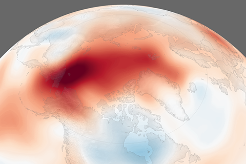
September 2018 was the second-highest on record, and all five years since 2014 have been warmer than any prior records.
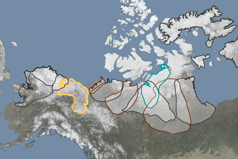
Reindeer and caribou abundance has declined 56 percent over the past two decades.