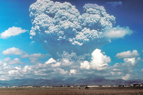
Not a Mad Lib! Our blogger lays out some of the evidence for and against the notion that volcanic eruptions can trigger El Niño.
Includes natural processes within the climate system: orbital patterns, solar radiation, oceans, atmosphere, water cycle, the natural greenhouse effect, carbon cycle, regional climates and differences between climate and weather.

Not a Mad Lib! Our blogger lays out some of the evidence for and against the notion that volcanic eruptions can trigger El Niño.
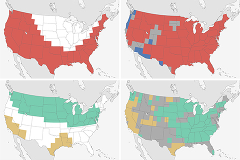
How did the 2019-20 Winter Outlook do? Pretty darn good if you ask us! Learn just how good in our yearly verification post.
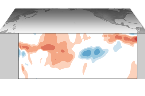
ENSO-neutral is expected to last through spring 2020. See why in our latest ENSO blog and stay for some ENSO trivia.
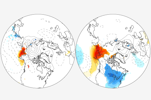
New research weighs in on a popular debate about whether reduced Arctic sea ice is causing extreme mid-latitude winters. Their result? Blame the atmosphere, not the ice.
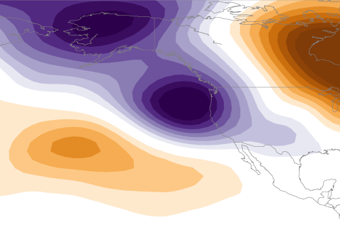
La Niña usually means a drier than average water year for California. So what happened in 2016-2017 when a weak La Niña coincided with a remarkably wet water year?
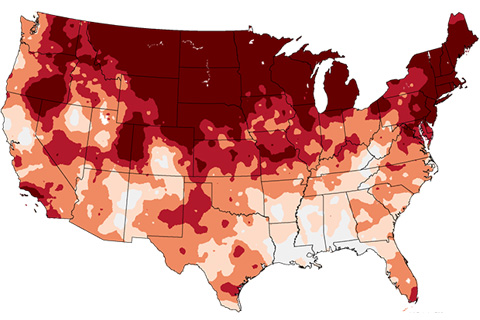
Our climate is changing. To help our users see how different times and places are warming at different rates, NCEI has created a new series of trend maps for the contiguous U.S. In this blog, NCEI's Jake Crouch gives us a show and tell featuring the new maps.
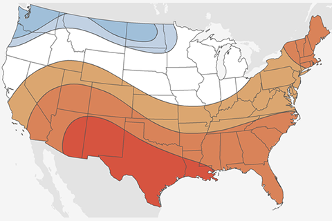
The Climate Prediction Center's Mike Halpert dives into the 2017-2018 winter outlook, and talks about how La Niña winters today are different from La Niña winters of the past.
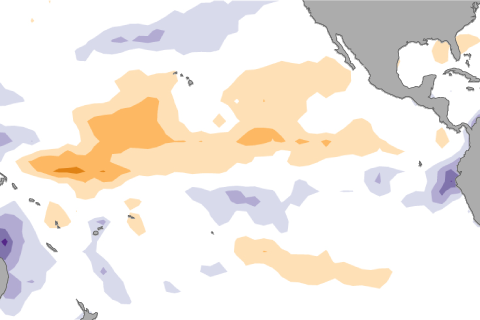
Neutral conditions are expected to continue in the Pacific with chances increasing for El Nino by the fall. Our blogger fills you in on the latest developments across the Pacific.
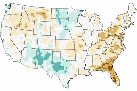
In this edition of Beyond the Data, we’ll look back at 2016 and identify some of the most meaningful climate and weather events from the year.
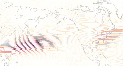
How does La Niña and the jet stream impact winter conditions in the United States?