
In September 2011, Arctic sea ice reached its second-lowest minimum extent in the satellite record.
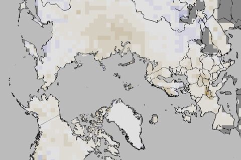
In 2011, annual snow cover extent over Northern Hemisphere continents (including the Greenland ice sheet) averaged 24.7 million square kilometers, which is 0.3 million square kilometers less than the long-term average.
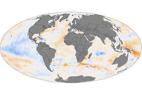
Except for some La Niña-cooled regions of the tropical Pacific and a few other cool spots, the upper ocean held more heat than average in 2011 in the Pacific, Atlantic, Indian, and Southern Oceans.
Although solar flares can bombard Earth’s outermost atmosphere with tremendous amounts of energy, most of that energy is reflected back into space by the Earth’s magnetic field or radiated back to space as heat by the thermosphere.
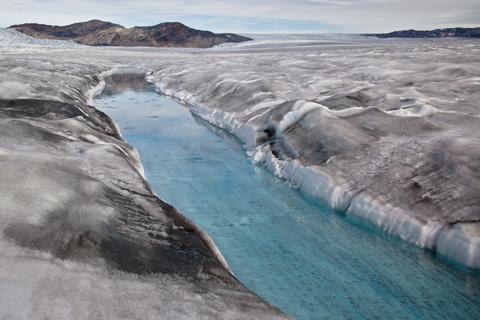
In the 2011 Arctic Report Card, scientists report that the bright white surface of the Greenland Ice Sheet has grown less reflective. The darker surface absorbs more sunlight, accelerating melting.
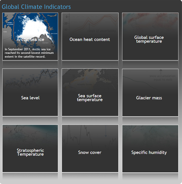
Image highlights form the 2011 State of the Climate report.
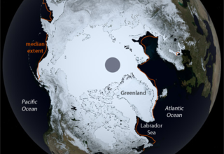
March 2011 Ice Extent Second Lowest on Record
April 14, 2011
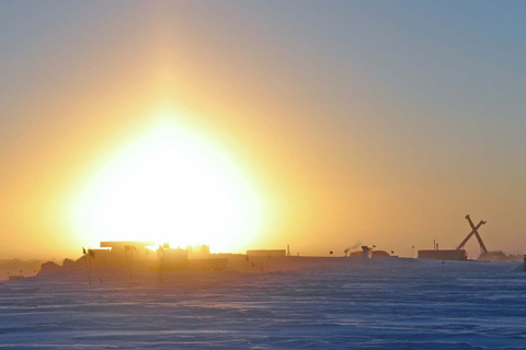
As the sun sinks below the horizon at the South Pole, NOAA researchers stationed at the bottom of the world settle in for six months of darkness. Throughout the Antarctic winter, the researchers will collect air samples to help maintain long-term records of trace gases, aerosols, and solar radiation.
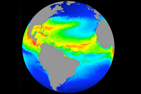
Improved computer models help scientists understand Earth’s ocean.
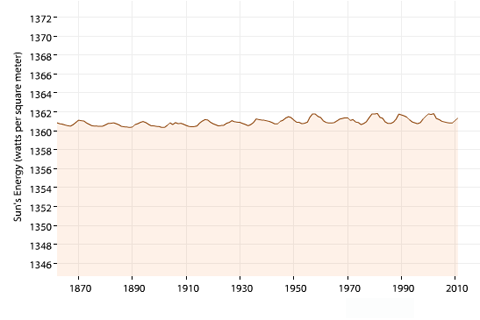
The Sun's average brightness varies over time, and the changes can affect global surface temperature. But long-term changes over the period of human-caused global warming are minimal.