Blogs
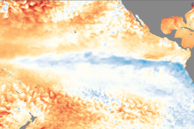
Well, it’s November, and the CPC/IRI ENSO forecast is declaring the presence of La Niña conditions! I could just link to my November 2016 post and head home for the day… but that would be no fun! There’s about a 65-75% chance that La Niña conditions will continue at least through the winter. As we head into our fifth “double dip” La Niña (an unofficial term for when neutral conditions briefly prevail in between La Niña winters) in the historical record, let’s dig into what we talk about when we talk about La Niña.
A quick flashback
If you recall, last month there were several signs of the presence of La Niña conditions. East-central tropical Pacific sea surface temperatures were co…
Read article
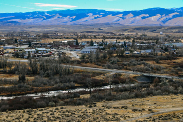
Hi! My name is Natalie Umphlett, and I am the interim director and regional climatologist at the High Plains Regional Climate Center (HPRCC). One of my favorite things about being a climatologist at the Center is helping people use climate data in meaningful ways. Most of the people we serve are not climatologists, so working one-on-one with them to understand their issues and then recommend a dataset or two that may help is an important aspect of my job.
One day I might be helping an agricultural producer to understand crop water use, while another I might be helping a medical doctor incorporate data into an asthma index. Because you never know who will be calling or writing into the Cen…
Read article
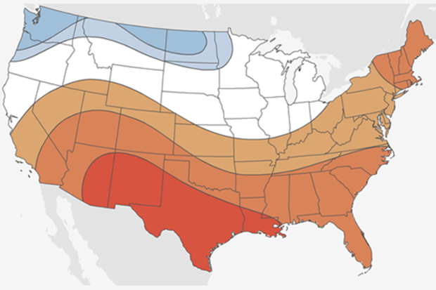
If it’s October, it must be time for my annual blog post detailing NOAA’s forecast for the upcoming winter. And as always seems to be the case (well not in 2015), we’re still trying to figure out what will happen across the tropical Pacific. Here I look ahead to provide some insight as to what is most likely to occur during the upcoming winter with regards to both precipitation and temperature.
Standard reminder: probabilities are not certainties
Before discussing the outlooks, I do want to remind readers again that these forecasts are probabilities (% chance) for below, near, or above-average climate outcomes with the maps showing only the most likely outcome (1). Because the probabil…
Read article
The task of a climate forecaster is to see the forest, and not get hung up on the individual trees. Especially that extra tall one over there, with the gnarl that looks like a face, and the low branches that would be so easy to climb, and… uh, right. My point is that we try to look beyond shorter-term weather to see longer-term monthly and seasonal patterns. After all, a particular winter can have several colder-than-average days and still be warmer than average overall.
Which brings me to the current situation in the tropical Pacific! The October ENSO forecast says La Niña conditions are favored during the fall and winter 2017-18, but at press time the ocean-atmosphere system didn’t…
Read article
This year, especially this last quarter, has been a tough one on the weather and climate front.
With that said, one silver lining of a rough 2017 has been the general retreat of drought on a national scale. This spring, according to the U.S. Drought Monitor, the fraction of the contiguous United States in drought dropped below 10 percent for the first time since 2010.
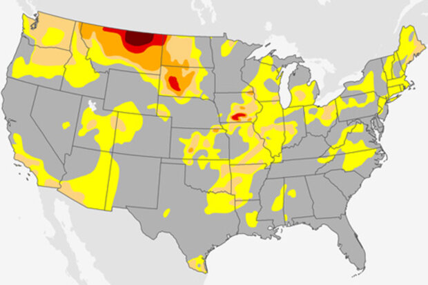
However, with that said, since then, a severe drought emerged quickly in the Northern Plains this summer. As droughts go, this was a “flash drought”—rapid-onset, regional drought, driven by combination of factors, typically during the summer.
The early impacts of this drought episode were covered here on Climat…
Read article


