Blogs
Will we or won’t we see La Niña emerge this year? Does it even matter? Shoot, if one of the strongest El Niño episodes in history didn’t deliver much drought relief to California last winter, what are the chances for significant improvement this year? I’ll attempt to answer these and other questions here in my 5th blog post. If you'd rather watch a video recap of the winter outlook, we have that, too.
This blog is brought to you by the letter p, for “probability”
So what might influence our climate this winter? As you know from the ENSO blog, there is a link between the fall and winter conditions across the tropical Pacific and the average winter climate in …
Read article
Last week’s Beyond the Data post examined the extreme temperature climates in the United States, as defined by station “normals.” We promised to come back and look at the precipitation extremes, and here we are.
First, a reminder: this information, for a subset of about 450 stations across the United States, is available through this tool. We’ve left the settings at the default “don’t give me stations within 20 miles of each other” setting. Jump in and play with the data yourself!
The Wettest and Driest Places in America
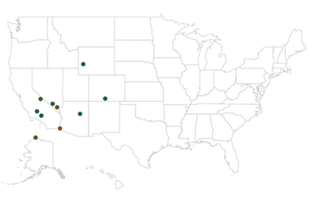
The tables below list the ten wettest and ten driest locations in the United States. Again, these are annual normals, or what would be expected in the mythica…
Read article
What a difference a month can make! Since my last post, the tropical Pacific has changed gears, and now forecasters think there’s a 70% chance that La Niña conditions will develop this fall. However, any La Niña that develops is likely to be weak, and forecasters aren’t quite as confident that La Niña conditions will persist long enough to be considered a full-blown episode, giving it a 55% chance through the winter.
Ch-ch-ch-changes
When I wrote last month, the tropical Pacific wasn’t giving us much evidence that the atmosphere was responding to the slightly cooler-than-average ocean surface, and most of the computer models were predicting that sea surface temperatures would head back…
Read article
We’ve been going Beyond the Data for a year and a half now (time flies!). Sometimes, on a long journey, it’s good to revisit the basics. What got us here?
That’s the theme for this edition. We’re going old school, and just look at some good old climatology adages and truisms, through the lens of a sturdy, reliable warhorse of a dataset.
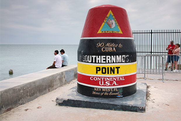
One question that we get here at NCEI’s Center for Weather and Climate, more so than you might think, are questions about superlatives. “What is the hottest place in America?” and so on. I call these the “Mostest Questions.”
To respond to these recurring questions, we set up a handy viewer that helps describe just that. Today’s edition of Beyond the …
Read article
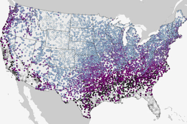
Near the anniversary of Beyond the Data's most popular post, we've given the map an interactive upgrade. Click to zoom in on an area of interest and drill down to see the date by which the chances for the first snow of the season at your location rise to at least 50%. Will this year's first snow come earlier or later than the historic "first date" of snow? See what the climate record has to say and keep up with your local forecast.
This map shows the historic date by which there’s a 50% chance of at least 0.1” of snow on the ground, based on each location’s snowfall history from 1981-2010, based on the latest U.S. Climate Normals from NOAA's National Centers for Environmental Informat…
Read article
