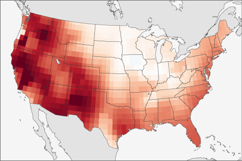
The forecast of ENSO is not the only thing scientists use when making seasonal forecasts. This post looks at another predictor that often is even better to use than ENSO.
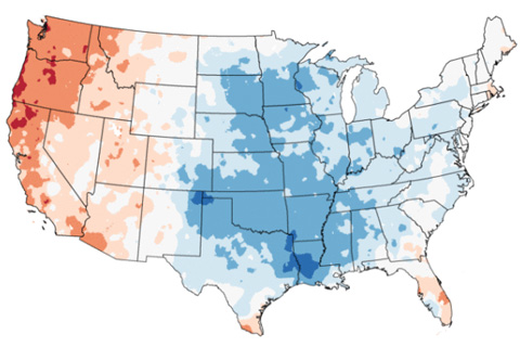
It’s been a tough few weeks weather and climate wise. Big events generate lots of questions, so this edition of Beyond the Data will address several I’ve heard recently, and several I asked myself.

Why the tropical Pacific is exceptionally ENSO-Neutral and what does it mean.
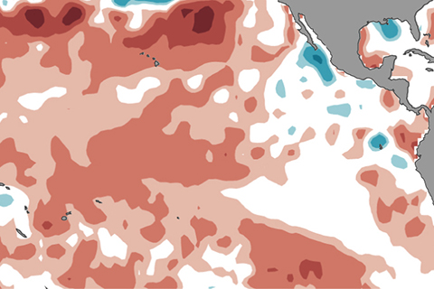
Our newest ENSO blogger provides the latest scoop on what is going on with ENSO.
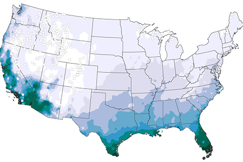
In mid-March, a cold air outbreak brought freezing temperatures to the Southeast devastating crops and causing over $1 billion in agricultural losses. For those of us who love fruit this is bad news. In this Beyond the Data post, we explain why it was so devastating even though freezing temperatures in mid-March aren’t that unusual for the Southeast.
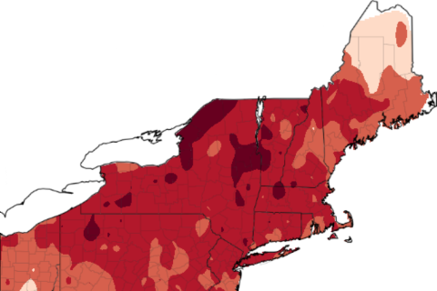
Yet another warm February left Northeast apple growers worrying if their crops will survive below-freezing spring temperatures. In this week's blog, Art DeGaetano of the Northeast Regional Climate Center talks about an online tool that helps apple growers estimate risk and damages to their yields based on bloom stage, historical climate data, and local temperature forecasts.
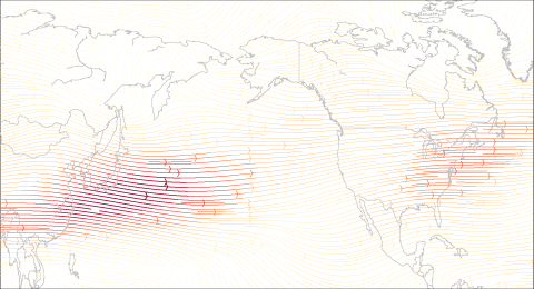
How does La Niña and the jet stream impact winter conditions in the United States?
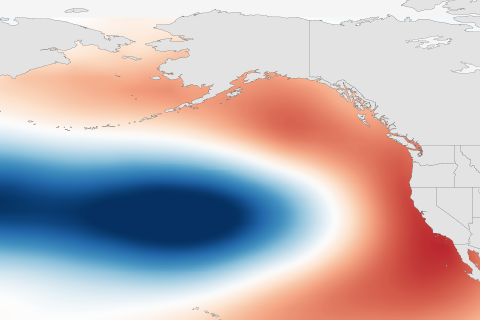
Understanding the Pacific Decadal Oscillation (PDO) as multiple layers of ice cream. And how is it related to the El Niño-Southern Oscillation?

It's been a tough year for the globe's coral and the scientists who use coral to paint a picture of ENSO back thousands of years.

The 2015-2016 El Niño will go down as one of the strongest on record, and also, thanks to El Niño Rapid Response Campaign, one of the best observed.