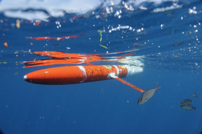
So you think you know what’s in the ocean? Even with decades of scientific research, more than 80 percent of the ocean remains unmapped, unobserved, and unexplored. That’s a lot considering more than 70 percent of the globe is covered by the ocean. NOAA is using Argo floats, gliders, drifters, and moored buoys to better understand the ocean depth

The sudden, sustained rise in atmospheric methane since 2007 has posed one of the most significant, pressing questions in climate research: Where is it coming from? By analyzing stable carbon isotope ratios, a research team identified microbial sources.
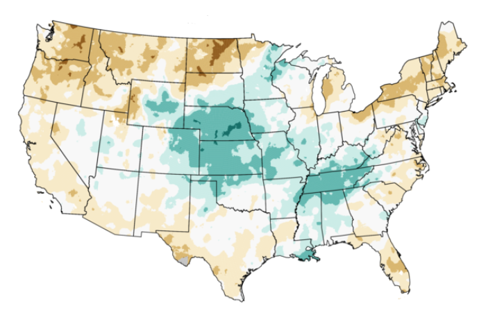
To address worsening drought in the Northern Plains, the National Integrated Drought Information System is co-hosting a webinar series this summer specifically for the Tribal Nations in the Northern Plains.
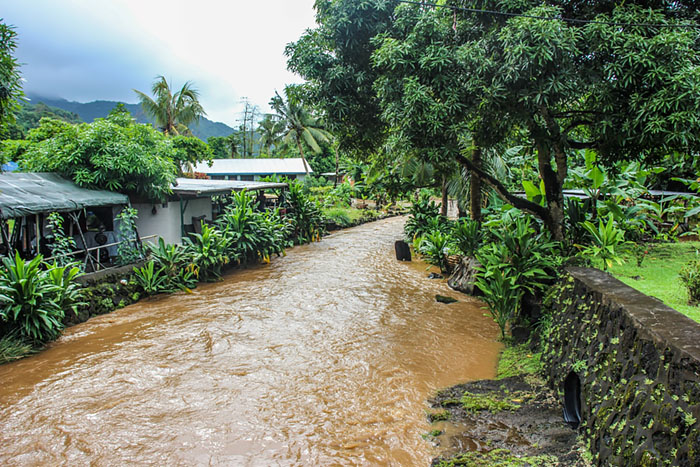
Human health risks, stronger cyclones, coral reef death, and coastal flooding are among the major challenges detailed in a new report on climate change in American Samoa published June 8, 2021. The report highlights the fact that American Samoa counts among the locations likely to see early impacts of climate change.

The NOAA Blue Carbon Inventory (BCI) Project—an initiative led by the NOAA Climate Program Office (CPO) in partnership with the U.S. Department of State and the NOAA Marine Protected Areas (MPA) Center—is among the first Ocean Decade actions endorsed and announced this week by the United Nations Intergovernmental Oceanographic Commission of UNESCO (IOC).

On June 8, 2021, the National Integrated Drought Information System (NIDIS) released a strategy for the National Coordinated Soil Moisture Monitoring Network (NCSMMN). It is a multi-institutional effort to plan for and support nationally coordinated soil moisture monitoring, data assimilation, and product development.
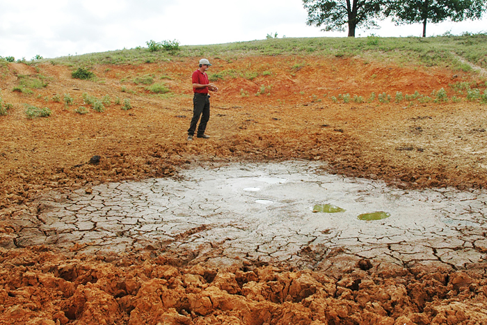
In early June 2021, the National Integrated Drought Information System (NIDIS) released the Southern Plains Drought Early Warning System (DEWS) 2021–2025 Strategic Action Plan. The Plan is designed to set priorities and suggest measurable actions that can create value in this drought-prone region, with the ultimate goal of improving stakeholder resilience during times of drought.

A key factor that determines how users respond to forecasts is the extent to which they trust the information. To help integrate this understanding into forecast valuation, a recent study proposes a framework to model trust in drought forecast information that captures how users’ trust forms and evolves over time and shows how trust influences users’ decisions.
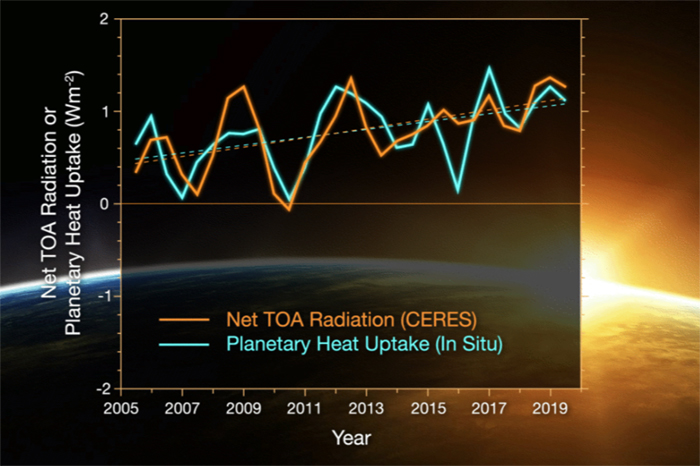
Comparing data from two independent measurements, NASA and NOAA researchers have found that Earth’s energy imbalance roughly doubled during the 14-year period from 2005 to 2019.
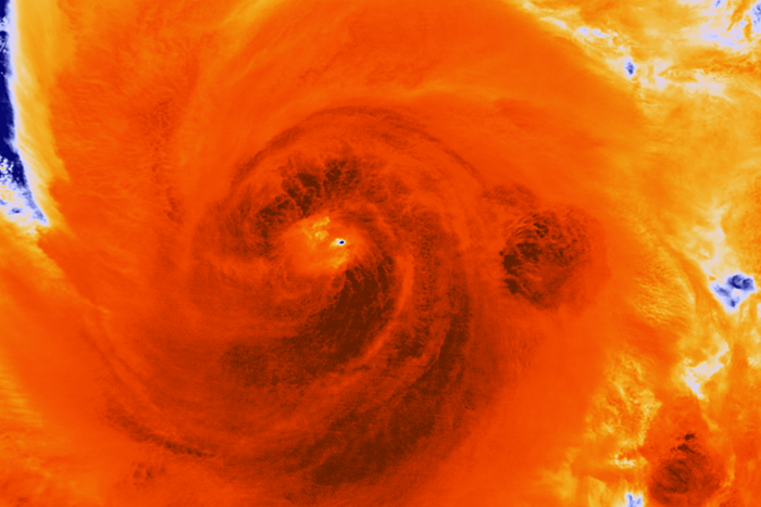
A new study in Nature Communications confirmed the widespread notion that the flood impacts of Hurricane Sandy were worse because of anthropogenic-induced sea level rise. The research team’s simulations indicated that approximately $8.1 billion of Sandy’s damages are attributable to climate-mediated anthropogenic sea level rise. Results also estimated that an additional 71,000 people were affected by the flooding that resulted from higher seas.