ENSO Blog
The chance that our young El Niño will continue through the winter is greater than 90%. Why are forecasters so confident? What are the chances of a strong El Niño? And what effect does El Niño have on global climate patterns? We have a lot to talk about today, so let’s get to it!
Tumbling class
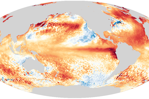
The Niño-3.4 Index, which measures the temperature of the surface of the central tropical Pacific Ocean, is our primary metric for El Niño. It was 0.8 °C (1.4 ˚ F) above the long-term average (long term = 1991–2020) in June, according to our most consistent dataset, ERSSTv5. This is comfortably above the El Niño threshold of 0.5 °C.
The three-month-average Niño-3.4 Index, the Oceanic Niño…
Read article
This is a guest post by Karin Gleason, who is the monitoring section chief at NOAA Centers for Environmental Information (NCEI) in Asheville, NC.
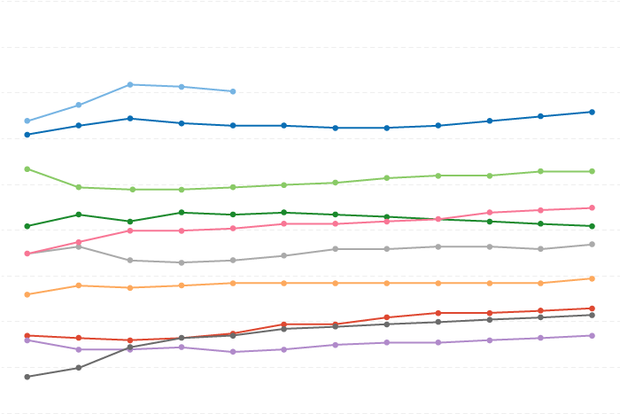
The warmest year on record for the globe occurred in 2016, following a strong El Niño (2015-16). Since then, conditions in the central-eastern tropical Pacific have largely been on the cooler side, with one weak El Niño winter (2018-19), a double-dip (2017-2018) and a triple-dip La Niña (2021-2023), and one ENSO-neutral winter in between (2019-20). Recently, in June 2023, an El Niño Advisory was issued, with a 56% chance for a strong El Niño to develop this coming winter.
So, the question everyone is asking is what does that mean for global …
Read article
El Niño conditions have developed, as the atmospheric response to the warmer-than-average tropical Pacific sea surface kicked in over the past month. We expect El Niño to continue into the winter, and the odds of it becoming a strong event at its peak are pretty good, at 56%. Chances of at least a moderate event are about 84%.
El Niño—the warm phase of the El Niño-La Niña climate pattern—changes global atmospheric circulation in known ways, giving us an idea of potential upcoming weather and climate patterns. A stronger El Niño means global temperature, rain, and other patterns are more likely to reflect the expected El Niño impacts. I’ll get into some of the details of those impacts late…
Read article
As our frequent visitors will know, I usually write the top-of-the-month ENSO Blog post. That post covers the outlook for ENSO—the El Niño/Southern Oscillation, aka the entire El Niño/La Niña system. This post, however, is about my other favorite acronym: NMME, the North American Multi-Model Ensemble. It’s an important input to the ENSO outlook, and often pops up in the Blog—for example, Nat just included the NMME forecast for ENSO in the May update post.
Small acronym, big project
In a single sentence, the NMME is a seasonal prediction system that combines forecast information from state-of-the-art computer climate models currently running in the U.S. and Canada (1). Seasonal here mea…
Read article
The tropical Pacific sure knows how to get out of a rut! Just two months after declaring the demise of an almost interminable La Niña, above-average surface temperatures have reclaimed the tropical Pacific, and temperatures in the central-eastern Pacific are expected to continue to rise. Consequently, an El Niño Watch remains in place, with El Niño conditions likely to develop within the next couple of months and then persisting (greater than 90% chance) into the winter.
We care about the potential development of El Niño—the warm phase of ENSO (El Niño/Southern Oscillation, the whole El Niño-La Niña system)—because of the cascade of global impacts t…
Read article


