Blogs
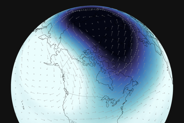
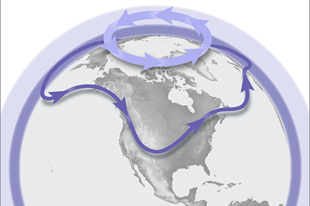
We are excited to announce that NOAA Climate.gov, home of the highly popular ENSO Blog, is venturing into a colder, darker, and windier corner of the atmosphere with the new Polar Vortex Blog. We plan to explore various facets of the winds, climate, and chemistry within the fascinating region of the atmosphere known as the polar stratosphere, and explain how this region can sometimes drive big changes in our weather patterns!
While ENSO may be the seasoned celebrity in the seasonal forecasting world, in recent years the stratospheric polar vortex has become a rising star: constantly making headlines and being stalked by the paparazzi, but often misunderstood or misrepresented. We hope to …
Read article
Few topics capture our readers' interest like the polar vortex. Next Tuesday, December 5, we plan to feed that interest with the launch of a new blog dedicated the winds, climate, and chemistry of the polar stratosphere. Come back next week for our first installment!
Read article
After the last three winters of La Niña conditions (weren’t we all ready for a change!), the tropical Pacific is looking much different this year, with a strong El Niño likely this winter (1). Historically, how has El Niño shaped precipitation (rainfall + snowfall) over the U.S.? Let’s dig in and find out!
What happened during December-February for previous strong El Niños?
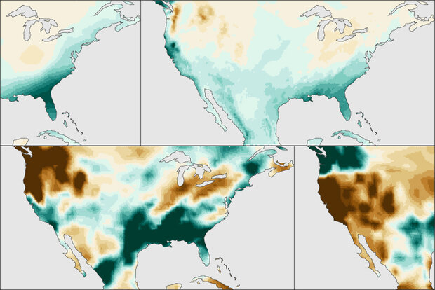
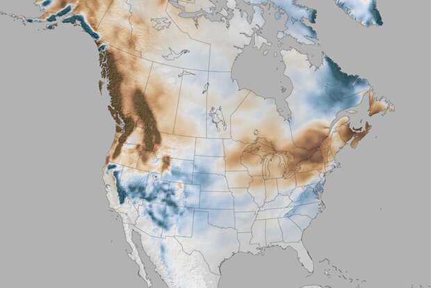
For the 7 strongest El Niño events since 1950, wetter-than-normal conditions occurred along the West Coast and southern tier of the U.S., especially in the Southeast. This is expected because El Niño causes the jet stream to shift southward and extend eastward over the souther…
Read article
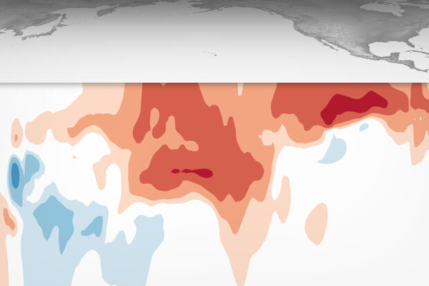
El Niño is currently chugging along, and forecasters expect it to continue for the next several months, with a 62% chance of lasting through April–June 2024. Since we’re heading into the winter, when El Niño’s effect on Northern Hemisphere temperature and rain/snow is most distinct, today we’ll drive by some of El Niño’s wide-ranging impacts.
On rails
First stop—this El Niño has now met the threshold for a “strong” event! The August–October Oceanic Niño Index, which measures the three-month-average sea surface temperature in the east-central tropical Pacific (the so-called Niño-3.4 region), was 1.5 °C above the long-term average (long-term is currently 1991–2020). The Oceanic Niño Ind…
Read article
Note: The primary writer of this post is Michelle L’Heureux, but it is inspired by and reviewed by Brian Brettschneider, who is the NWS Climate Service Program manager for the Alaska region.
The last several winters have been depressingly bleak for snow lovers in the Washington, D.C. area, where we at the Climate Prediction Center (CPC) are located. Needless to say, when Brian Brettschneider (@Climatologist49) showed me that the D.C. area historically sees above-average snowfall during El Niño winters, I excitedly dusted off our sleds and ordered new mittens because we’re expecting an El Niño this winter 2023–24. With that said, longtime ENSO blog readers will know that I’m wish-casting a…
Read article
