Blogs
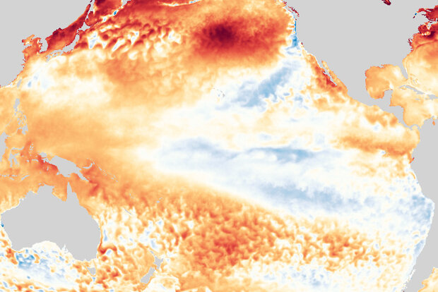
It’s likely that the tropical Pacific is on the verge of getting into the La Niña groove, and forecasters estimate a 70-80% chance of La Niña this winter. NOAA’s forecast discussion says “the ocean-atmosphere system reflected ENSO-neutral [in August], but is edging toward La Niña.” Let’s dig into that!
The age of Aquarius
First things first: a reminder of why we’re here every month, rain or shine, talking about ENSO (El Niño-Southern Oscillation, the entire El Niño/La Niña system of the tropical Pacific). We do it because when it comes to the global climate, the tropical Pacific has all the influence of Jimi Hendrix playing guitar in the middle of a concert crowd. Sure, those closest b…
Read article
If you live in the U.S. Southwest or northwestern Mexico, you may already be familiar with the annual climate phenomenon called the North American Monsoon, especially since rainfall in some spots has been way above average this summer. In fact, this monsoon may turn out to be the wettest on record for some places! More on that later… Now, let’s take a sojourn through some North American Monsoon basics (1).
What is the North American Monsoon?
The North American Monsoon is a seasonal change in the atmospheric circulation that occurs as the summer sun heats the continental land mass. During much of the year, the prevailing wind over northwestern Mexico, Arizona, and New Mexico is westerly…
Read article
ENSO-neutral conditions continue in the tropics, but ENSO’s next performance may be approaching, as forecasters have increased the likelihood (~70% probability) that La Niña will reemerge by early winter. A La Niña Watch remains in effect.
Wind of change
If you just took a very quick look at the tropical Pacific surface, you might think things haven’t changed much since last month. The July sea surface temperature in the Niño 3.4 region, the main region we use to monitor ENSO (ENSO = El Niño-Southern Oscillation, the whole El Niño and La Niña system), was 0.33°C below the 1991–2020 average. This departure from average is firmly within ENSO-neutral territory and is similar to the de…
Read article
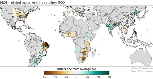
This is a guest post by Weston Anderson (@HydroClim) who is an assistant research scientist with the Earth System Science Interdisciplinary Center at the University of Maryland and the NASA Goddard Space Flight Center, where he works with the Famine Early Warning System team.
A couple of weeks ago, NOAA issued a La Niña Watch based on the possible development of a La Niña this fall that could persist through Northern Hemisphere winter 2021-22. At times like this, we climate scientists spend a great deal of time discussing how ENSO will affect precipitation and temperature, but we often neglect discussion of what those changes will mean for vegetation and…
Read article
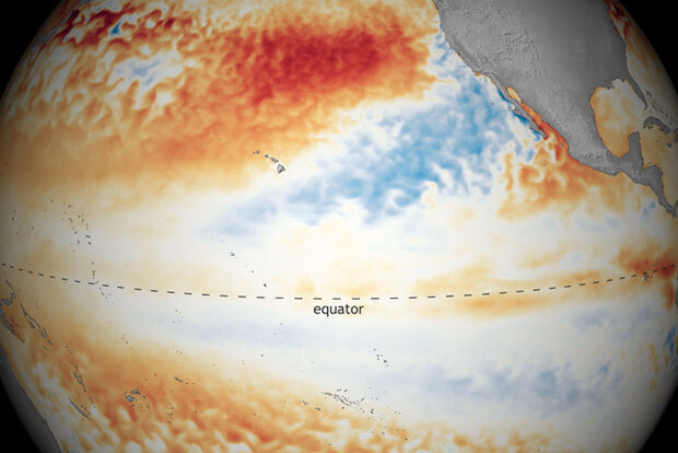
As things stand with the El Niño-Southern Oscillation (ENSO), neutral conditions are currently present in the tropical Pacific and favored to last through the North American summer and into the fall. But forecasters at NOAA’s Climate Prediction Center have issued a La Niña Watch, which means they see La Niña likely emerging (~55%) during the September-November period and lasting through winter.
Where we are:
I know you’re all excited for me to talk about La Niña, but I’m a killjoy, so bear with me for a second while I talk about the current state of the Pacific. In June, ocean surface temperatures were near the 1991-2020 average across the equatorial Pacific, including the all-impo…
Read article


