Blogs
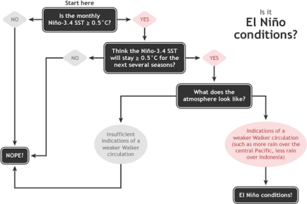
The first Thursday of every month is when we do the CPC/IRI ENSO status update, when NOAA officially answers the question “Are we there yet?” This month, the answer is...close, but no cigar.
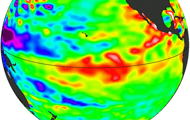
Sea surface temperatures (SSTs) in the Niño3.4 region of the Pacific were quite warm during November, with the most recent weekly Niño3.4 index value at +1.0°C above average. The threshold for El Niño conditions is +0.5° above average for one month, and most of the climate models are forecasting that SSTs will stay above average for at least a few more months. Then why haven’t we changed from an “El Niño Watch” (favorable for development of El Niño conditions) to an “El Niño Advisory” (El Niño conditi…
Read article
With the Thanksgiving holiday fast approaching; my thoughts are quickly shifting from trying to make sense of the current ENSO picture to heaping mounds of stuffing and turkey. With that in mind and with full realization that this is one of the busiest travel days of the year, I tried to keep today’s ENSO blog post simple, involving a question I was asked repeatedly during my recent trip to California:
What’s the deal with El Niño and California rainfall? An El Niño means lots of rain, right?
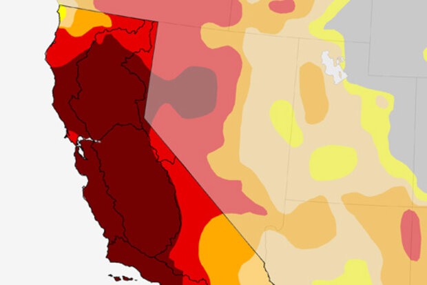
First off, why are folks so desperate for rain in California? Well, it has been incredibly dry. The drought in California (Figure 1) has been a national news story for over a year. With a large po…
Read article
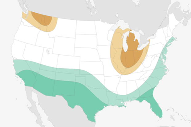
After a memorably cold winter in the central and eastern United States last year, and some very cold weather this month, folks are likely wondering if this cold weather is a harbinger of things to come. The simple answer is “not necessarily,” as the persistence of weather and climate from one winter to the next or even one month to the next is usually fairly low (Livezey and Barnston 1988; Barnston and Livezey 1989; Van den Dool 1994). While “persistence”—the prediction that recent conditions will continue—is a simple forecast to make, it rarely proves to be as accurate as forecasts made using dynamical models or more advanced statistical methods (1).
So does that mean this wo…
Read article
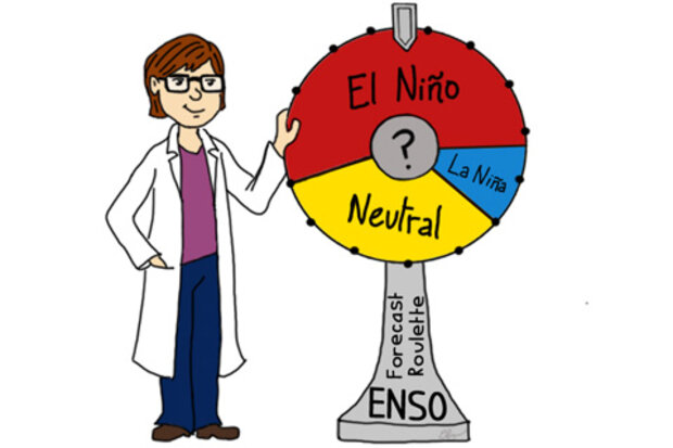
Pretend someone is willing to bet you $50 that El Niño will not occur. Before you jump at it, you might want to know what the chances of El Niño are, right? So you then look up your favorite model prediction and discover there is a 90% chance of El Niño. The odds are in your favor. You go for it and take the bet.
But something happens and you lose. El Niño doesn’t occur. Oh the horror! Does that mean the model is totally useless? After all it forecasted a 90% percent chance of an El Niño and it didn’t happen. You might think that means the model was awful and next time you may not trust your money with such a prediction.
These sorts of be…
Read article
The CPC/IRI ENSO forecast has dropped the likelihood of El Niño again, to 58%, despite the presence of “borderline” El Niño conditions (i.e. warmer equatorial Pacific sea surface temperature, and some reduction in rain over Indonesia). El Niño is still expected, but with less confidence. What is it about this year that may be making it harder to forecast?
Many studies, using both long-term climate model simulations and observed data, have found that ENSO changes on decadal (10-year) or longer timescales. This low-frequency or interdecadal variability includes changes in ENSO strength (variance) and frequency (how often events re-occur).
In other words, in one decade, the pattern …
Read article
