Blogs
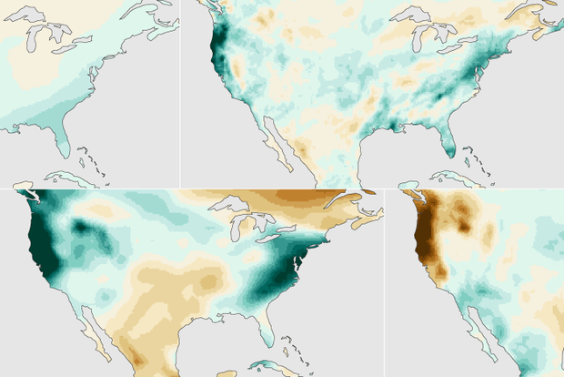
Last November, I wrote about how a strong El Niño might shape precipitation over the U.S. this winter (December – February). So, what happened? With crocuses now starting to bloom and the chirps of spring peepers in full chorus, we’re ready to investigate!
An El Niño-ish big picture
First, let’s acknowledge that a strong El Niño occurred this winter, as NOAA had been forecasting since issuing an El Niño Watch in April 2023. (If we couldn’t check that box, this would be a very short post!) We unofficially consider El Niño to be “strong” when the Oceanic Niño Index (ONI) exceeds 1.5 °C (2.7 °F), and the ONI value for this past December – February w…
Read article
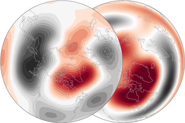
As we’ve mentioned a few times before in this blog, the stratospheric polar vortex has been pretty active this winter. The screaming-fast winds that circle the North Pole high above the surface during Polar Night have completely reversed twice. (And in between those two events, there was a maybe: the west-to-east winds* at 60 degrees fluttered around zero, but may not have actually reversed for long enough to officially qualify.)
As such events often do (it’s why we pay attention to them!), the one in January probably played some role in the extreme cold in the central U.S. in January that kept the winter from being a complete bust. (Footnote 1).
All this starting, stopping, re…
Read article
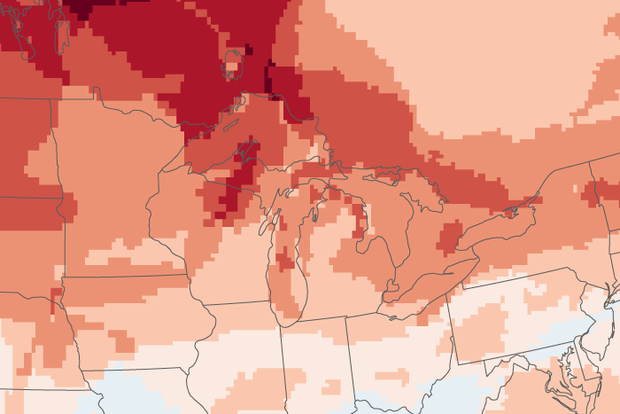
El Niño—the warm phase of ENSO, which is short for El Niño-Southern Oscillation—is still hanging on in the tropical Pacific, but signs are pointing to a quick transition to neutral conditions by the April–June period. There’s a 62% chance of La Niña getting the golden ticket by June–August. Stay tuned, because La Niña affects global climate patterns, including the Atlantic hurricane season and North American winter.
Red carpet
The sea surface temperature in the Niño-3.4 region of the tropical Pacific (our primary ENSO-monitoring region) was 1.6 °C (2.9 °F) above the long-term average (long-term = 1991–2020) in February, according to our most reliable dataset, ERSSTv5. This is still com…
Read article
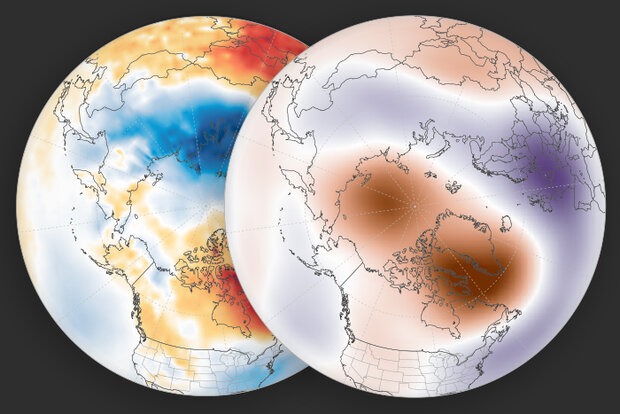
We’ve talked about how the reversal of the west-to-east winds at 60 degrees North during a major sudden stratospheric warming sets up a feedback between large atmospheric waves and the winds, and how this results in the stratospheric wind changes being communicated down into the troposphere. But what does this mean for weather patterns down here after the polar vortex is disrupted?
By taking the average of the surface temperature and atmospheric thickness for the 30 days after all the major sudden stratospheric warmings in the observational record, we can average out day-to-day variations in the weather and see more clearly what weather patterns related to major warmings look like.
…
Read article
“It could be … it might be … it…!” Wait, is it? A homerun for the stratosphere? After a brief respite, the stratospheric polar vortex is expected to weaken again with potentially another major sudden stratospheric warming forecast to occur in the next week. But didn’t we just have a sudden stratospheric warming event?? Read on to find out what’s in the stratosphere’s line-up and how this double header fits in with typical stratosphere behavior.
Loading the atmospheric bases
The atmospheric players have been positioning themselves again for another polar vortex disruption. First up, the current stratospheric conditions are primed for tropospheric wave activity because the polar vo…
Read article
