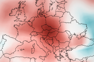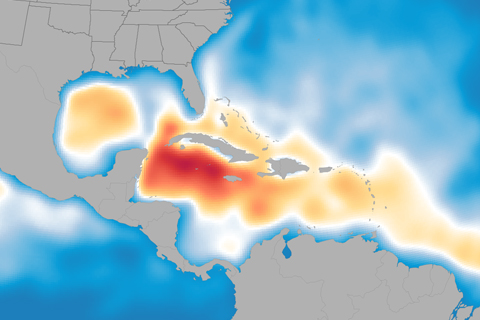
Andrea, Barry, Chantal, Dorian, Erin... who’s next? Probably plenty more, according to NOAA’s updated Atlantic hurricane season outlook. With five named storms already in the books this summer, the 2013 hurricane season is shaping up to be above normal.
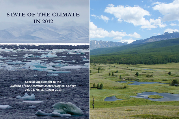
From record-low Arctic sea ice to the highest global sea level of the modern record, the 2012 State of the Climate report provides a complete rundown on the state of Earth's climate and how it is changing.
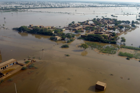
From devastaing fires to the year's strongest cyclone, explore this interactive map of significant weather and climate events documented in the State of the Climate in 2012 report.
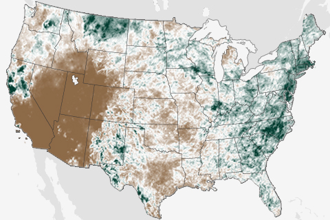
They say the grass is always greener on the other side of the fence, and that was certainly true in June. Throughout the month, two very different stories played out in the contiguous United States. While the drought-stricken West fell into the grips of an intense heat wave, East Coasters were bombarded by summer thunderstorms.
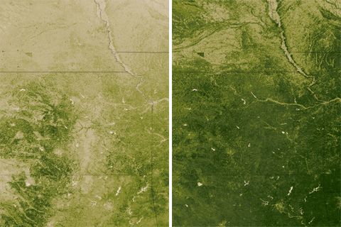
A plant is a sophisticated climate-observing device. These satellite maps of the central and southern Great Plains during the week of April 8, 2012, and 2013 show how plants in the heart of the U.S. winter wheat croplands "measured" dramatically different climate conditions this spring than last.
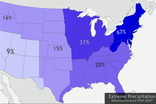
To Escape Drought, Slow and Steady Wins the Race
May 20, 2013
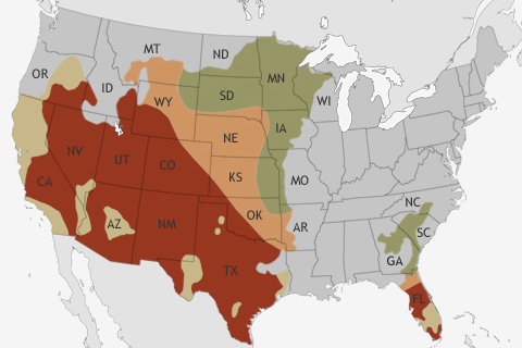
NOAA's Climate Prediction Center released its Spring Outlook on March 21. The big story for the upcoming spring? Relief for many drought-stricken areas of the United States is not likely.
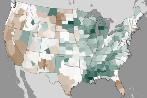
Winter storms in February improved drought in the Southeast and Midwest, but well below average precipitation in parts of the West in recent months has worsened drought in other places.
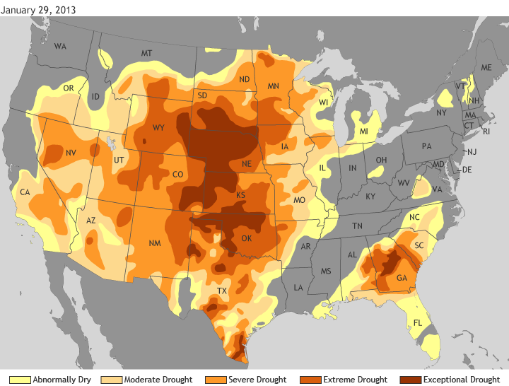
According to the U.S. Drought Monitor, an estimated 58 percent of the contiguous United States was in some level of drought as of January 29, with an additional 12 percent in the “Abnormally dry” category.
