How do warm waters in the Caribbean this year compare to conditions in 2005, when high ocean temperatures triggered the worst mass coral bleaching event ever seen in the region?

How do warm waters in the Caribbean this year compare to conditions in 2005, when high ocean temperatures triggered the worst mass coral bleaching event ever seen in the region?
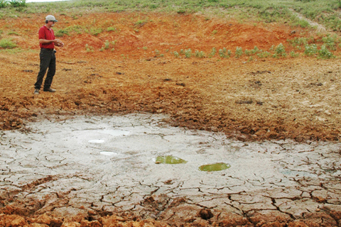
Ponds that were built to hold significant amounts of water for cattle are dwindling away under the hot temperatures, dry winds and lack of rain.
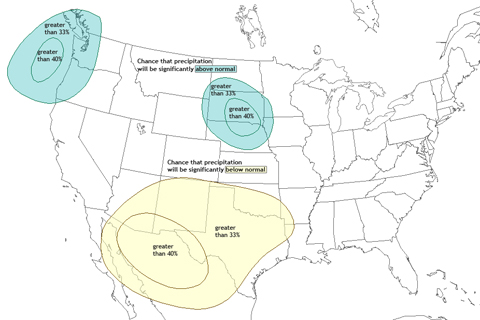
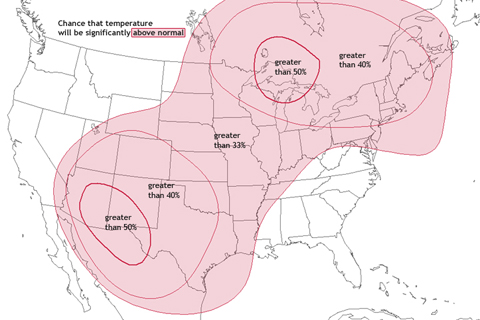
After enduring months of drought and baking summer heat, residents of the Southwest and Southern Plains will hardly be excited about the fall 2011 temperature and precipitation outlooks.

As the East Coast prepares for the arrival of Hurricane Irene, New Englanders may be recalling a similarly threatening storm that walloped the area 73 years ago.
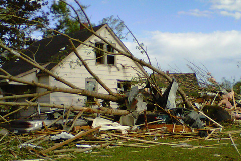
What began as an ordinary Sunday on August 21, 2011, became anything but ordinary for residents of Goderich, Ontario, as an EF-3 tornado (winds between 136-165 mph) ripped through their historic town.
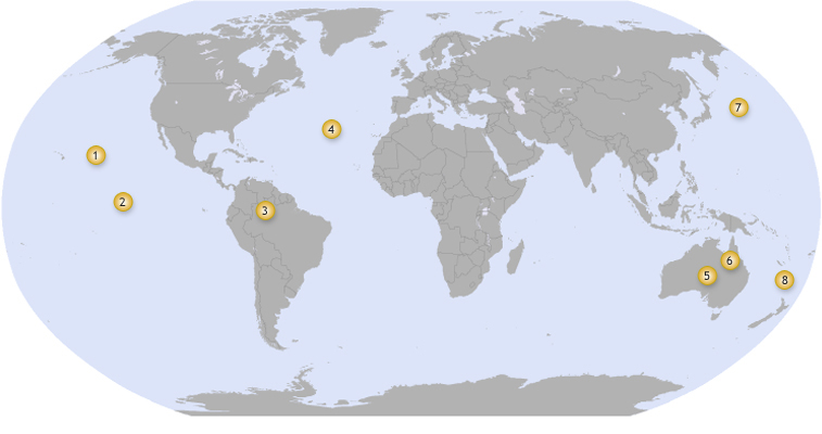
From drought in the Amazon to Australia's record spring rains, this interactive map highlights significant regional climate events in 2010 that were influenced by El Niño and La Niña.
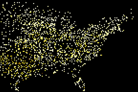
A map of each location where a daily heat record was broken in July 2010 creates a nearly complete image of the contiguous United States.
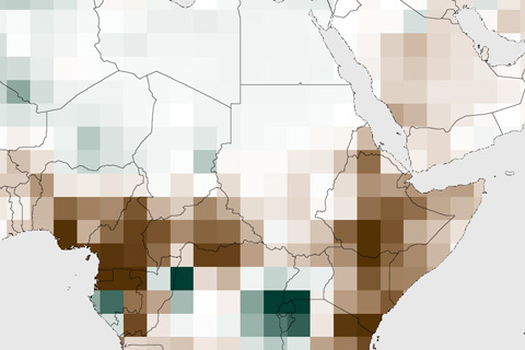
In the semi-arid Horn of Africa, rain comes in two seasons: the “short rains” of October-December and the “long rains” of March-June. In late 2010 and early 2011, both rainy seasons brought scant rain to the region, which led devastating drought across several countries in 2011. In Somalia, the drought escalated to famine.
Image highlights form the 2011 State of the Climate report.
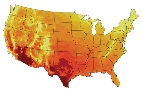
Climate models project that 100-degree days will become more numerous and widespread by the end of the century if greenhouse gas emissions continue to rise.