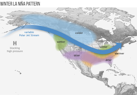
Last week, NOAA issued a La Niña watch, indicating conditions are favorable for the development of La Niña this winter. What does a La Niña winter typically mean for the U.S.?
March 4, 2016

Last week, NOAA issued a La Niña watch, indicating conditions are favorable for the development of La Niña this winter. What does a La Niña winter typically mean for the U.S.?
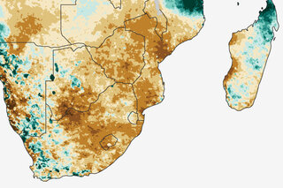
February 17, 2016
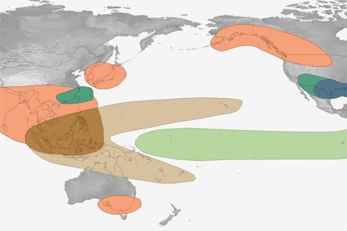
The disruptions of tropical Pacific sea surface temperature and rainfall that occur during the climate pattern called "ENSO" trigger a cascade of global side effects. These maps show how El Niño and La Niña affect seasonal climate around the world.
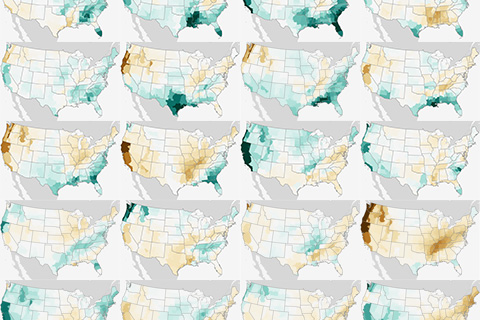
(UPDATED) Winter precipitation across the contiguous United States during every El Niño since 1950.
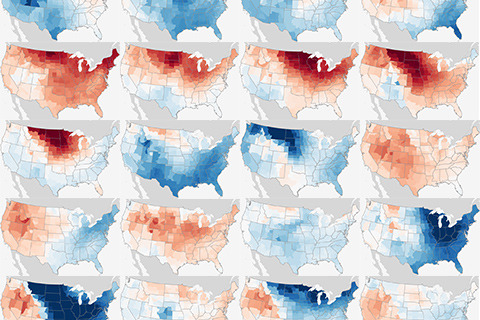
(Updated). Maps showing winter temperatures across the contiguous United States during every El Niño since 1950.
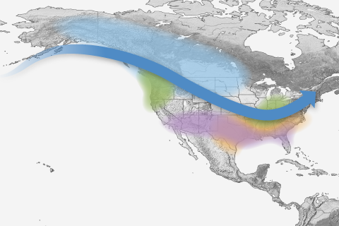
Free to good home! NOAA Climate.gov provides hundreds of images and maps that are free for re-use. This page gathers up links to our most popular El Niño and La Niña images.
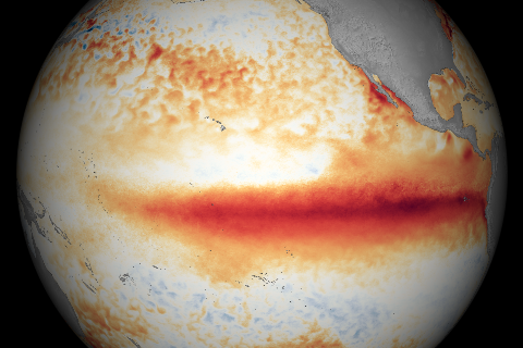
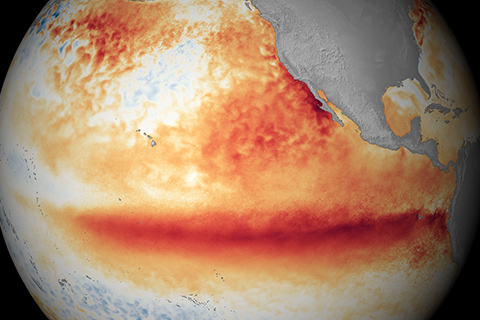
A strong El Niño continued during December 2015 with well above average sea surface temperatures across the central and eastern equatorial Pacific Ocean, according to NOAA Climate Prediction Center’s monthly El Niño advisory update.
Answers to some of the questions that readers frequently ask NOAA experts about El Niño and La Niña.