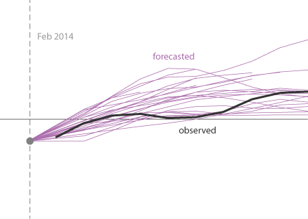
The model predictions during 2014 were not that shabby. A major, strong El Niño was not well justified by the predictions.
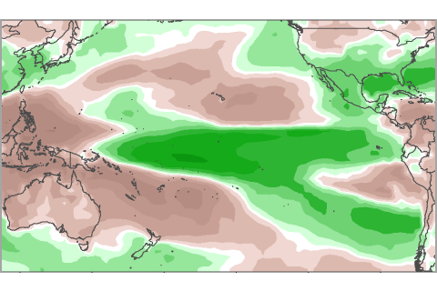
For more than 6 months, NOAA has been issuing El Niño watches, but never an advisory. Here we show whether recent patterns in precipitation resemble those expected during El Niño.

At the beginning of February, the atmosphere was looking a little bit like El Niño. Is this just another rolling stone?
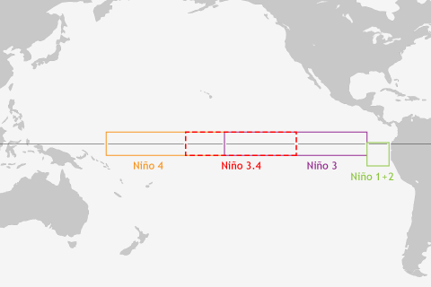
ENSO blogger Tony Barnston explains why climate forecasters can't get by with just a single indicator for predicting El Niño and La Niña.
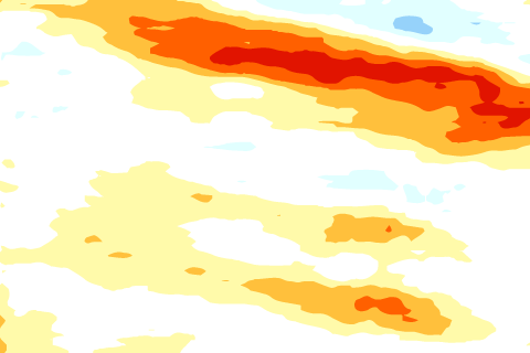
The tropical Pacific Ocean sloshes around like water in your bathtub. These waves are as important as the vortex of water that spirals down the drain.
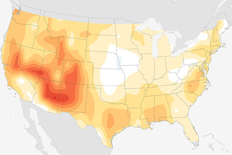
Blogger Tom Di Liberto explains the math behind some of the tests that seasonal forecasters use to check forecast skill, and then shows how skillful the past decade's winter forecasts have been.
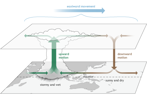
Several times a year the MJO contributes to various extreme events in the United States, including Arctic air outbreaks during winter across the central and eastern portions of the country.
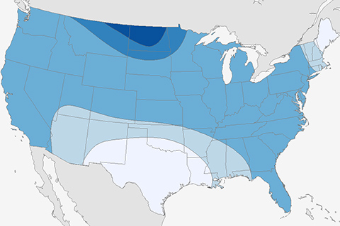
A first look at how we evaluate seasonal forecasts. How well do our eyes do?
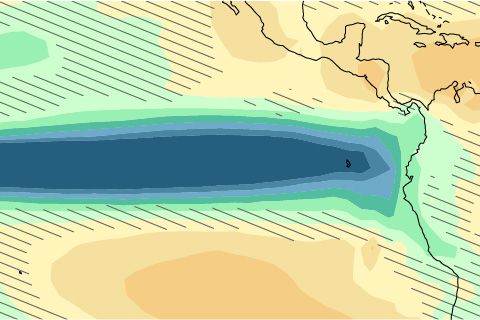
If we look only at rainfall changes, and not ocean temperatures, can we get a clearer picture of how climate change will influence ENSO? Guest blogger Mat Collins from University of Exeter explains what recent studies have to say.
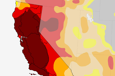
An El Niño means lots of rain for California, correct? Well, some of the time, but not always.