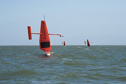
With long ranges and adaptive capabilites, saildrones provide researchers with a new tool in their toolbox for collecting data in remote and hard to reach parts of the ocean.
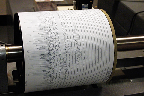
NOAA-funded researchers have developed a way to estimate hurricane strength using nothing but seismic data used to track earthquakes and volcanoes. The technique may help expand the pre-satellite record of tropical cyclone activity.
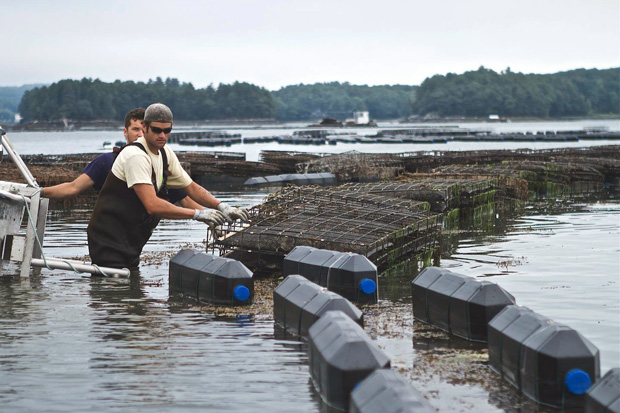
The oyster hatchery industry on the U.S. West Coast nearly collapsed when they were caught off guard by increasing acidity in the coastal waters. In Maine, an oyster grower is testing whether new NOAA-funded technology can prevent a repeat on the East Coast.
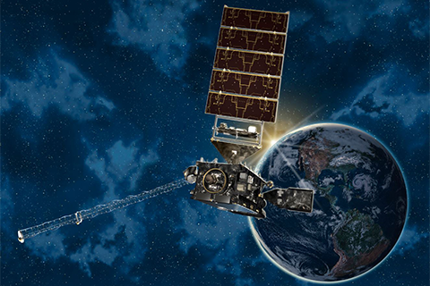
Providing more timely and accurate information over the western hemisphere, total lightning mapping, and higher resolution images streaming down from space more often, the new GOES satellite marks the first major redesign of the nation’s operational Earth-observing technology in more than 20 years.
Some of the chemicals that replaced ozone-harming CFCs are long-lived greenhouse gases. At NOAA's lab in Boulder, Colorado, chemist Steve Montzka leads the effort to monitor the concentration of CFC-substitutes and their potential impact on global warming.
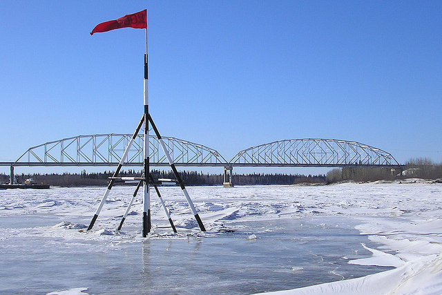
While many of us were wrapped up in March Madness this spring, Alaska residents and people across the globe participated in a different kind of competition.
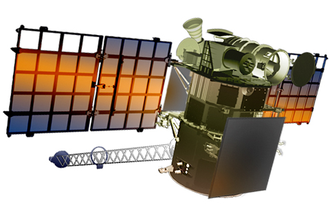
In addition to its primary mission of observing space weather, the Deep Space Climate Observatory (DSCOVR) satellite is carrying two instruments that are important to climate science: the NISTAR radiometer and the EPIC camera.

Ocean scientists have designed a new aquatic robot that can go where they suspect some of the heat energy from global warming is hiding: in the abyss.
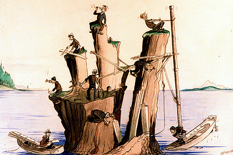
As sea level has changed, so has the way we measure it. Here’s a look at some of the technologies climate and marine scientists have used to track Earth’s tides and global sea level over the past two centuries.
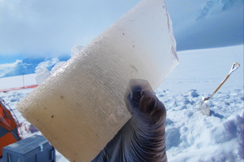
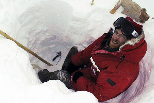
Like a prehistoric fly trapped in amber during dinosaurs' days, airborne relics of Earth's earlier climate can end up trapped in glacial ice for eons. How do climate scientists turn those tiny relics into a story about Earth's ancient climate?