
Mike Halpert from the Climate Prediction Center grades the winter forecast. Temperature outlooks fared quite well, but precipitation forecasts were not that great. The mediocre precipitation scores were partly because forecasts were counting on tropical atmospheric responses to El Niño, which didn’t emerge until late in the season.
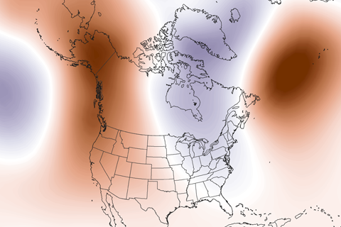
Guest blogger Dennis Hartmann makes the case that warm waters in the western tropical Pacific—part of the North Pacific Mode climate pattern—are behind the weird U.S. winter weather of the past two seasons.
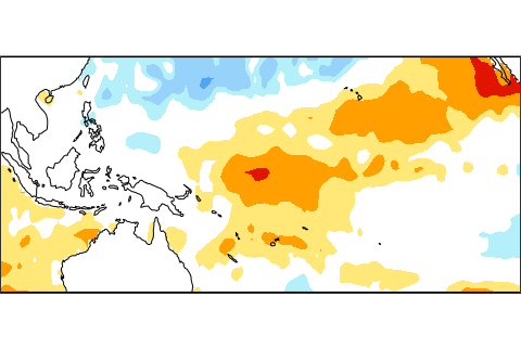
After a long watch, NOAA has issued an El Niño Advisory. What changed? And what does it mean for U.S. weather?
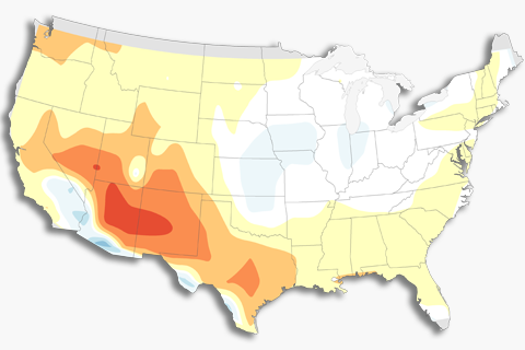
How do we verify forecasts that use probabilities? Read on to find out.
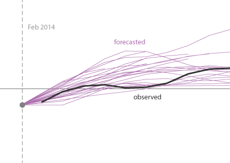
The model predictions during 2014 were not that shabby. A major, strong El Niño was not well justified by the predictions.
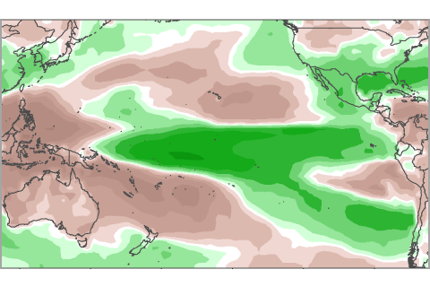
For more than 6 months, NOAA has been issuing El Niño watches, but never an advisory. Here we show whether recent patterns in precipitation resemble those expected during El Niño.
At the beginning of February, the atmosphere was looking a little bit like El Niño. Is this just another rolling stone?
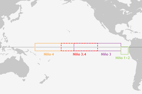
ENSO blogger Tony Barnston explains why climate forecasters can't get by with just a single indicator for predicting El Niño and La Niña.
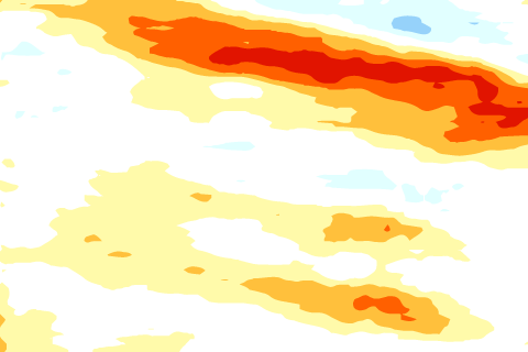
The tropical Pacific Ocean sloshes around like water in your bathtub. These waves are as important as the vortex of water that spirals down the drain.
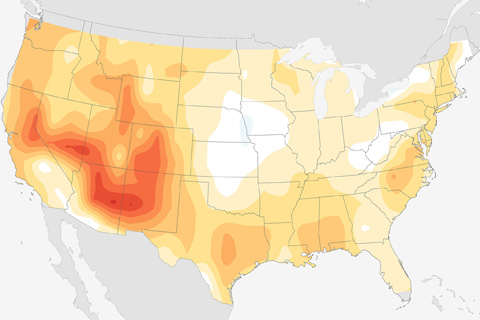
Blogger Tom Di Liberto explains the math behind some of the tests that seasonal forecasters use to check forecast skill, and then shows how skillful the past decade's winter forecasts have been.