
In September 2011, Arctic sea ice reached its second-lowest minimum extent in the satellite record.
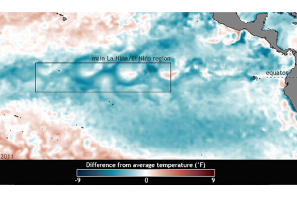
Double-dip La Niña in 2011
July 10, 2012
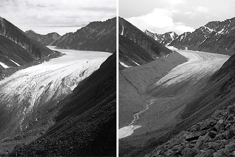
Data from 2010 indicate that mountain glaciers predominantly lost mass, and preliminary data from 2011 indicate a continuation of the same long-term trend.
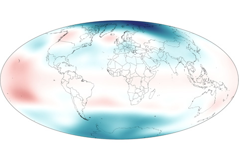
In early 2011, stratospheric temperatures rose over the tropics due to La Nina while temperatures over the poles fell below the long-term average.
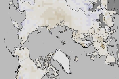
In 2011, annual snow cover extent over Northern Hemisphere continents (including the Greenland ice sheet) averaged 24.7 million square kilometers, which is 0.3 million square kilometers less than the long-term average.
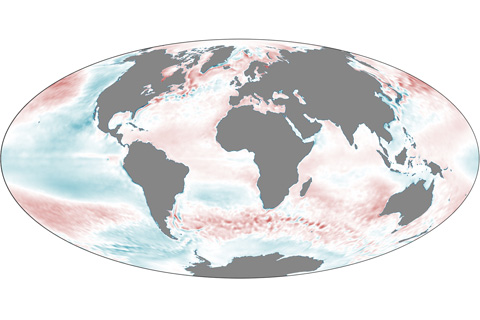
In 2011, La Niña and the Pacific Decadal Oscillation cooled parts of the Pacific Ocean, but unusually warm temperatures predominated elsewhere.
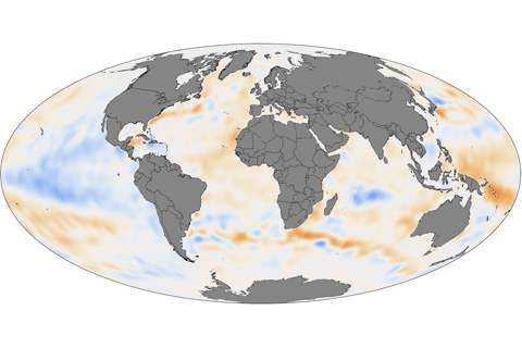
Except for some La Niña-cooled regions of the tropical Pacific and a few other cool spots, the upper ocean held more heat than average in 2011 in the Pacific, Atlantic, Indian, and Southern Oceans.
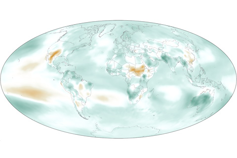
In 2011, Earth’s atmosphere was cooler and drier than it had been the previous year, but it was more humid than the long-term average.
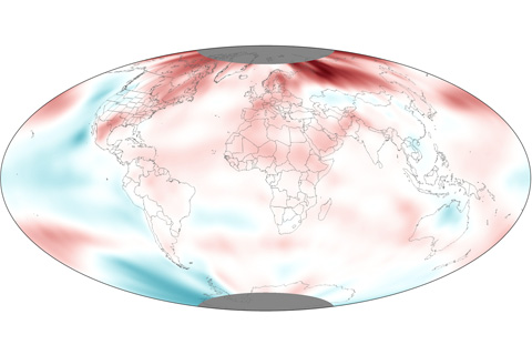
Despite the double-dip La Nina that occurred throughout the year, 2011 was still among the 15 warmest years on record. Including the 2011 temperature, the rate of warming since 1971 is now between 0.14° and 0.17° Celsius per decade (0.25°-0.31° Fahrenheit), and 0.71-0.77° Celsius per century (1.28°-1.39° F) since 1901.
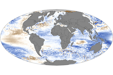
In 2011, global sea levels fell below the long-term trend of sea level rise, but as La Niña waned late in the year, global ocean levels began rising rapidly.