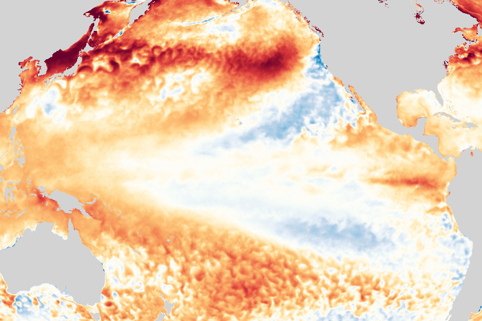
Neutral conditions are hanging on, but for how long? Our blogger explains why a return to La Niña this fall/winter is looking more likely.

Neutral conditions are hanging on, but for how long? Our blogger explains why a return to La Niña this fall/winter is looking more likely.
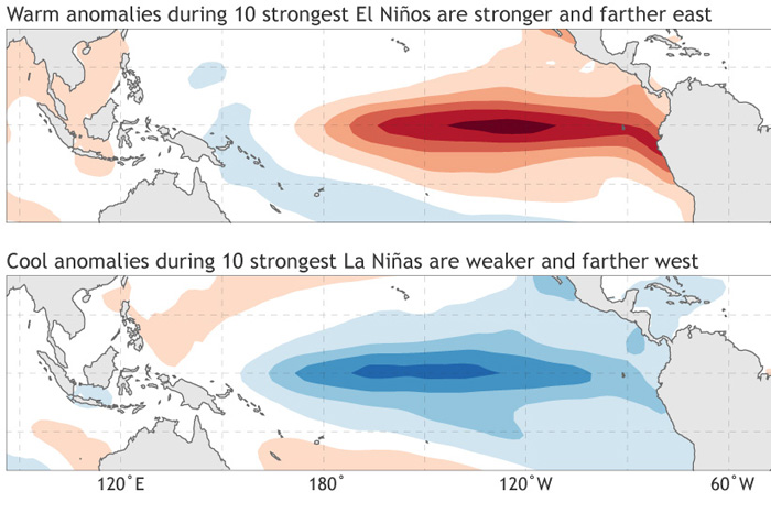
One La Niña winter is often followed by another. El Niño winters seldom double-dip. The ENSO Blog explains why.
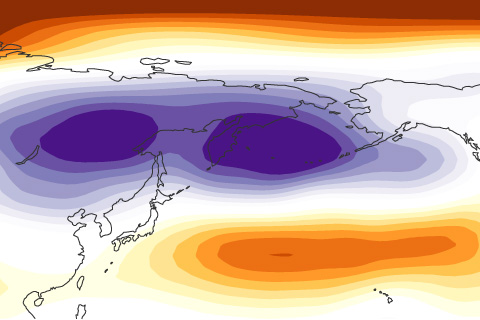
La Niña has been going strong this winter, but the Northern Hemisphere doesn't appear to be paying attention. Our blogger discusses what may be going on.
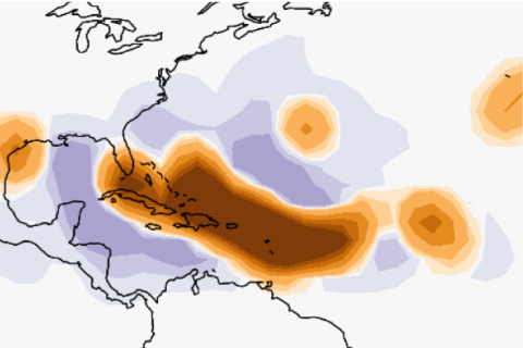
NOAA scientists are using advances in global climate modeling to improve our ability to make seasonal predictions of Atlantic hurricane activity.
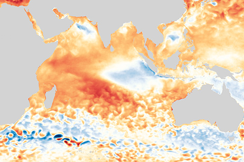
There’s more than just ENSO in the tropical climate neighborhood. Our blogger discusses an Indian Ocean climate pattern that had an important impact on Australia’s catastrophic 2019 bushfire season.
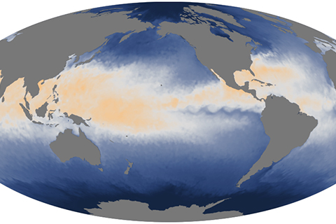
El Niño has ended, bringing a transition to ENSO-neutral conditions. How long can we expect neutral conditions to last?
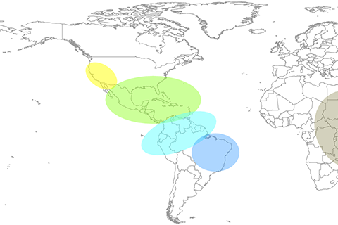
The major El Niño of 2015-16 affected disease occurrence throughout the globe. Our blogger discusses new efforts to use ENSO forecasts to issue early warning alerts for global disease outbreaks.
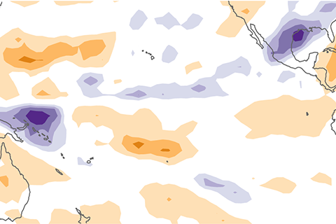
Why did atmospheric El Niño conditions fail to develop this past fall? Our blogger tries to unravel the mystery of the missing central Pacific rainfall.
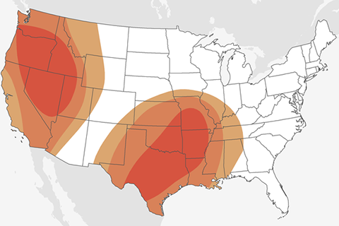
The NOAA Climate Prediction Center began issuing Week 3-4 Temperature and Precipitation Outlooks in May of 2017. Our blogger discusses the challenges and successes that led to this development.
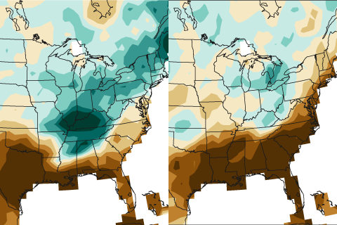
Dry conditions have dominated large portions of the United States so far this winter. Is the current double-dip La Niña to blame?