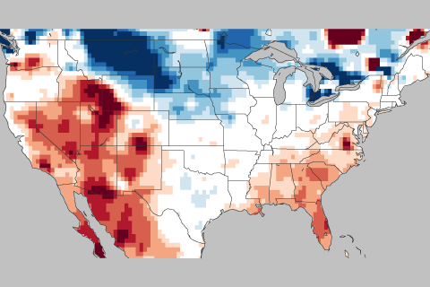
In this week's ENSO blog, Tom DiLiberto gets all judgy over the 2017-2018 Winter Outlook—using science of course.

In this week's ENSO blog, Tom DiLiberto gets all judgy over the 2017-2018 Winter Outlook—using science of course.
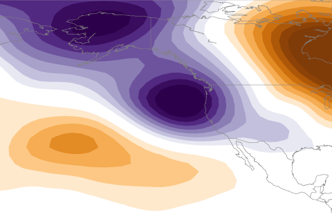
La Niña usually means a drier than average water year for California. So what happened in 2016-2017 when a weak La Niña coincided with a remarkably wet water year?
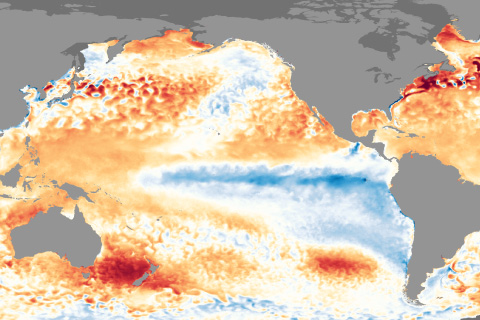
La Nina conditions appear to have peaked in strength and will likely last through the upcoming winter.
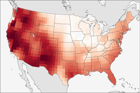
The forecast of ENSO is not the only thing scientists use when making seasonal forecasts. This post looks at another predictor that often is even better to use than ENSO.
How much do ENSO blog writers like marine-based observations? Enough for one of them to write a love letter to a buoy.
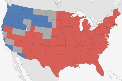
Now that the 2016-2017 winter is over with, it's time to look back and see what happened. Did our winter outlook do well?
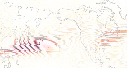
How does La Niña and the jet stream impact winter conditions in the United States?
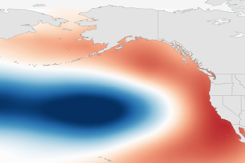
Understanding the Pacific Decadal Oscillation (PDO) as multiple layers of ice cream. And how is it related to the El Niño-Southern Oscillation?
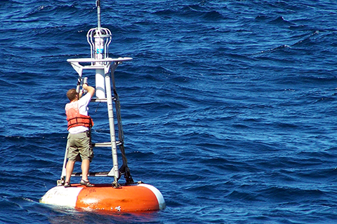
With multiple sea surface temperature datasets come questions. What are they all for?
...but it's still a seasonal forecaster's best friend.