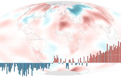
The May temperature across global land and ocean surfaces was 1.49°F above the twentieth-century average of 58.6°F. Since 1880, May temperatures have been rising by 0.13°F (0.07°C) per decade.
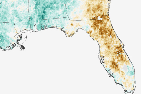
At the end of May 2017, central Florida was the only part of the contiguous United States experiencing extreme drought. These maps come from a new drought surveillance system that can detect vegetation stress without knowing anything about how much it has rained.
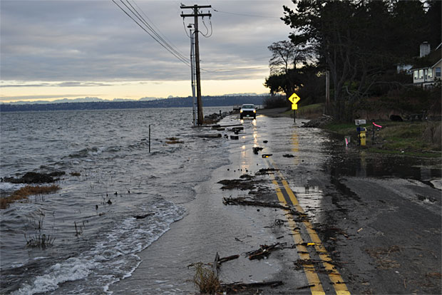
A Q & A about the science of detecting the influence of global warming on hurricanes, fires, and other extreme events.

Providing more timely and accurate information over the western hemisphere, total lightning mapping, and higher resolution images streaming down from space more often, the new GOES satellite marks the first major redesign of the nation’s operational Earth-observing technology in more than 20 years.
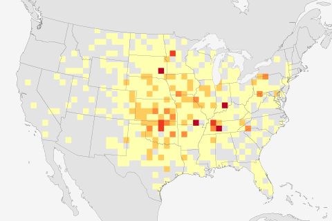
Using a combination of observations and models, NOAA-funded scientists have found a small but significant “advanced warning” signal for heightened summer tornado activity in the U.S.: warmer-than-average water temperatures in the Gulf of Mexico

For New Englanders, the saying “as American as apple pie” may as well be “as New England as lobster.” But warming sea surface temperatures from climate change are forcing populations of the American lobster to higher latitudes than ever before—and upending fishing communities on the New England coast.
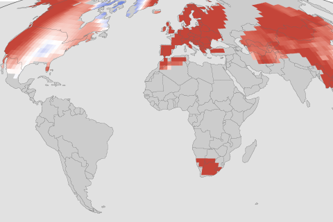
Globally, 2015 set a new record for the most extremely warm days in the 66-year record (1.8 times more than the average). The number of extremely warm days and nights was the highest ever recorded in western North America, parts of central Europe, and central Asia.
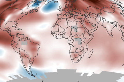
Long-term warming and a strong El Niño contributed to the highest annual combined temperature for ocean and land since reliable records began in the mid-to-late 1800s.
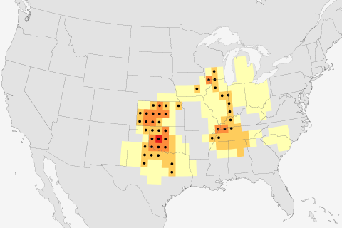
Currently, the risk of regional-scale tornado outbreaks is predictable only about 7 days in advance. But NOAA scientists report that sea surface temperatures in the tropical Pacific may provide a month or more of advance warning of an elevated risk for tornado outbreaks.
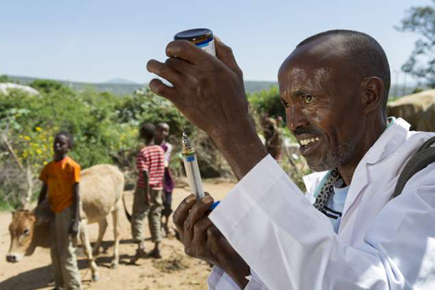
With this year's ongoing El Niño event, parts of East Africa may be ripe for a potential outbreak of Rift Valley Fever. See how government agencies are using climate data to help predict, and hopefully prevent, an outbreak of this deadly mosquito-borne virus that affects both people and valuable livestock.