ENSO Blog
There’s a 90% chance that the current El Niño will continue through the summer, and forecasters estimate the chance that it will continue through the end of 2015 at greater than 80%. This is a pretty confident forecast. What are the forecasters looking at that gives them such confidence?
Warm and getting warmer
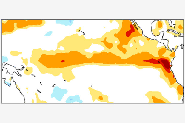
Sea surface temperatures in the equatorial Pacific remained substantially above average during April. Also, there is still a lot of warmer-than-average water below the surface in the upper 300 meters of the ocean, helping to ensure that the above-average sea surface temperatures will continue for at least the next few months.
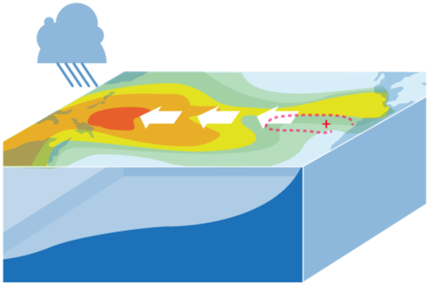
The atmospheric response to the warm…
Read article
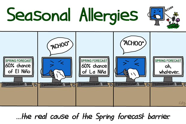
It’s that time of year again when ENSO forecasters stare at the latest analysis and model forecasts and shake their heads in frustration. Why? We’re in the heart of the so-called “Spring Predictability Barrier,” which is when the models have a harder time making accurate forecasts. It’s like trying to predict the next episode of Mad Men based on the tiny amount of detail given in the “as seen on the next episode” clips. As we know from Tom’s posts on verification (here, here, here), there are many ways to measure the accuracy, or skill, of seasonal climate predictions. Here, we will focus on just one measure (1), but there are other ways to gauge the spring barrier.
What is the Spri…
Read article
This is a guest post by Eric Guilyardi, who is a professor in the Department of Meteorology at the University of Reading (NCAS Climate) in the UK and is affiliated with the Institut Pierre Simon Laplace (IPSL) in Paris, France. He has led various efforts to diagnose ENSO in state-of-the-art climate models, with a focus on how ENSO responds in a changing climate.
On a global scale, the El Niño-Southern Oscillation (ENSO) is the dominant mode of seasonal and year-to-year climate variability. Originating in the tropical Pacific, it affects many regions of the globe via atmospheric or oceanic teleconnections. Hence, we climate scientists are frequently working to understand ENSO itself …
Read article
hr {
background-color: #cccccc;
width: 75%;
color: #cccccc;
}
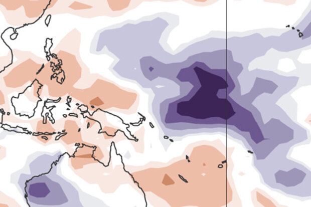
Last month, we saw the first signs of an atmospheric response to the warmer-than-average sea surface temperatures that had been in place in the tropical Pacific for several months, leading us to declare the presence of El Niño conditions. In March, those conditions strengthened a bit. So what are the forecasters thinking this month?
We think the odds are roughly 70% that El Nino conditions will persistent though summer and above 60% that they will last through fall.
Where we are
First, let’s catch up on the details of that atmospheric response. One of the signs that the atmosphere is responding to El…
Read article
This is a guest post by Mike McPhaden, who is a Senior Scientist at NOAA’s Pacific Marine Environmental Laboratory in Seattle, Washington, where he’s led development of ocean observing systems for climate, most notably the Tropical Atmosphere Ocean (TAO) array of moored buoys in the Pacific used for ENSO research and forecasting.
There has been a lot of excitement this past year about the development of El Niño-like conditions in the tropical Pacific. From the available observations and current seasonal forecast models, NOAA’s Climate Prediction Center predicted beginning in March 2014 that it was on its way. After many fits and starts that kept us guessing longer than we expected, …
Read article
