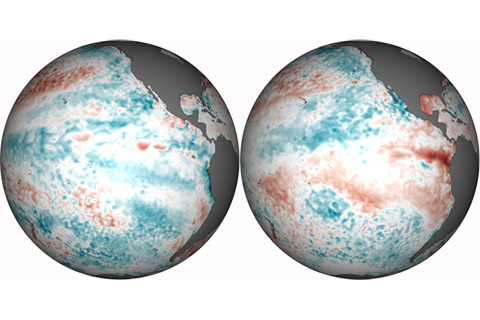
Temperatures in the eastern tropical Pacific Ocean swing back and forth like an irregular pendulum. The cool phase—which the Pacific has been in for the past two winters—is called La Niña. According to NOAA’s April 2012 ENSO Diagnostics Discussion, La Niña is fading and will likely be over by the end of April.
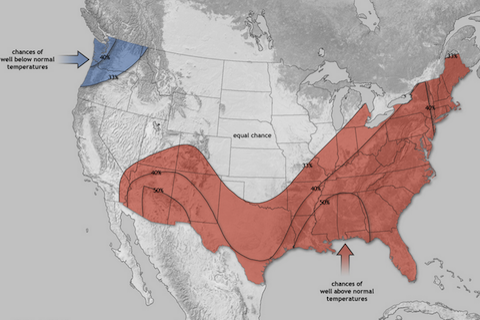
According to NOAA’s 2012 Spring Outlook, odds are that dry conditions and above-average temperatures will persist in much of the South, where drought is still lingering after making headlines in 2011. But last year’s most devastating flood events are unlikely to repeat.
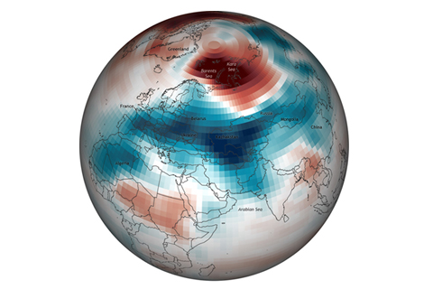
For Europe, the first two calendar months of winter were mild. As if to make up for lost time, however, exceptionally cold weather arrived in late January and remained firmly entrenched for weeks.

Climate Science 101: What is the Difference Between Weather and Climate?
February 15, 2012
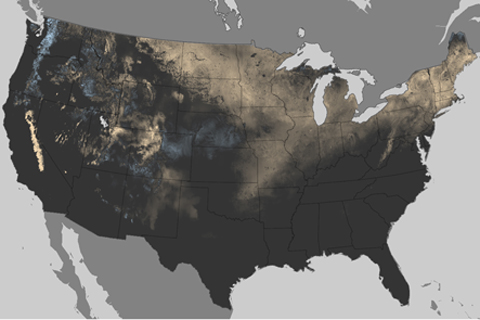
Last year on Groundhog’s Day, large swaths of the country were covered in two feet of snow or more after a large storm pounded the eastern United States. This year, Punxsutawney Phil emerged from his den on a balmy day after the third-least snowy January on record. A comparison of snowfall (or lack thereof) so far this season to last year's winter white-out shows what a difference a year makes.
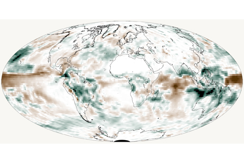
Seasonal precipitation patterns across the globe showed large differences from average in 2011, with several areas receiving heavy rains during more than one season of the La Niña-influenced year.
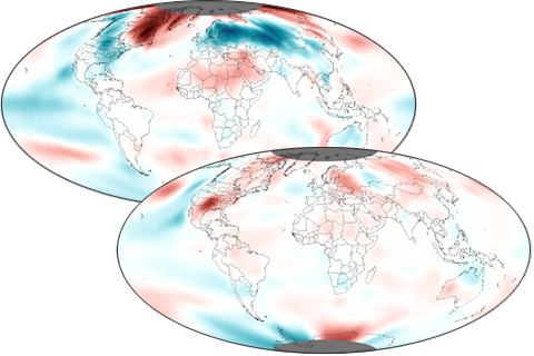
A year-long La Niña contributed to dramatic variability in seasonal temperature patterns in 2011.
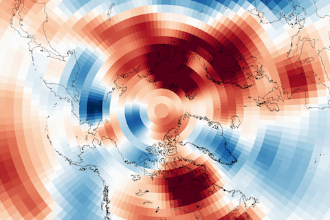
Climate forecasters often describe the Arctic Oscillation as the “wild card” of the winter forecast. So far in 2011, the Arctic Oscillation has been in its positive phase, playing the card that favors a milder winter in the eastern United States.
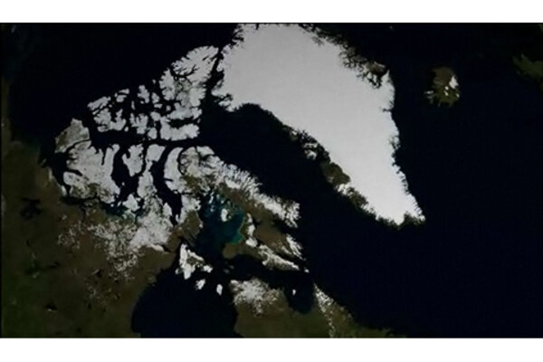
Greenland Ice Sheet Surface Melting, 2000-2011
November 30, 2011
