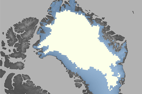
After record-breaking melt during the 2012 season, the 2013 melt extent was more on par with the long-term average. The reprieve from the record warmth and melting of the past six summers is likely connected to a strong positive phase of the North Atlantic Oscillation during summer 2013.
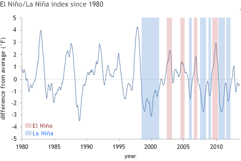
The most likely explanation for the lack of significant warming at the Earth’s surface in the past decade or so is that natural climate cycles caused shifts in ocean circulation patterns that moved some excess heat into the deep ocean.
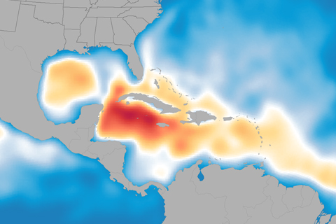
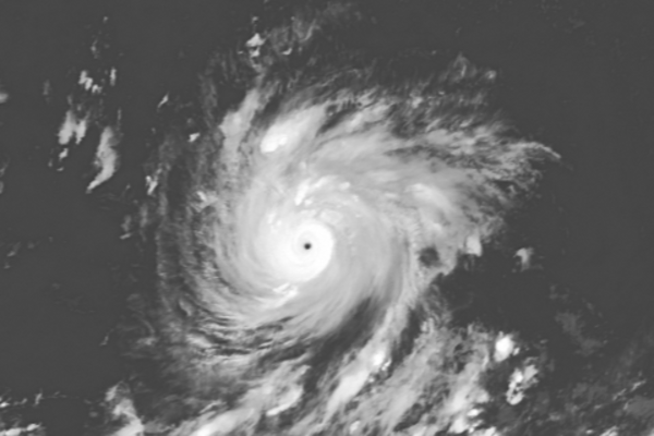
Andrea, Barry, Chantal, Dorian, Erin... who’s next? Probably plenty more, according to NOAA’s updated Atlantic hurricane season outlook. With five named storms already in the books this summer, the 2013 hurricane season is shaping up to be above normal.
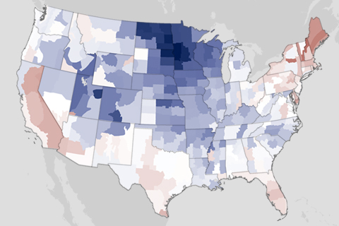
For the first six months of 2013, the contiguous United States has been nearly split in half by temperature and precipitation differences. Much of the East has been dealing with below- or near-normal temperatures, above-normal precipitation, and flooding while much of the West has been dealing with above-normal temperatures, below-normal precipitation, and drought.
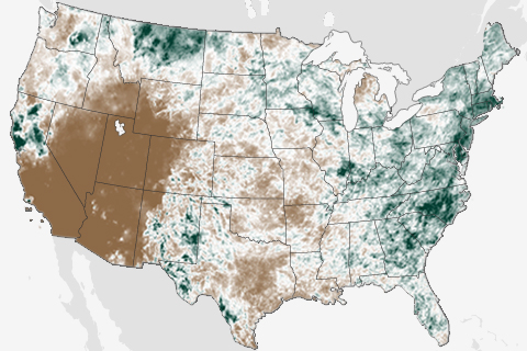
They say the grass is always greener on the other side of the fence, and that was certainly true in June. Throughout the month, two very different stories played out in the contiguous United States. While the drought-stricken West fell into the grips of an intense heat wave, East Coasters were bombarded by summer thunderstorms.

Sources and Cycles: Balancing Water Needs
June 10, 2013

Worried about Water? Tracking Climate Assures Supply
June 10, 2013
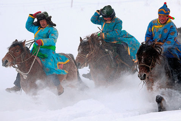
Local Is Not Global: Pockets of Cold in a Warming World
April 19, 2013
