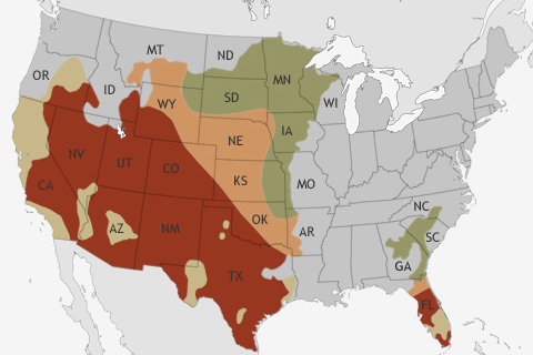
NOAA's Climate Prediction Center released its Spring Outlook on March 21. The big story for the upcoming spring? Relief for many drought-stricken areas of the United States is not likely.
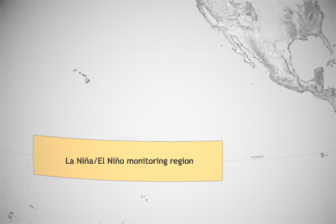
As the whole ocean gets warmer, NOAA scientists must redefine what they consider “average” temperature in the central tropical Pacific, where they keep watch for El Niño and La Niña.
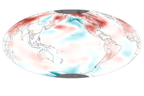
Although 2012 warmth did not top the charts, it was the third warmest “La Niña year” on record.
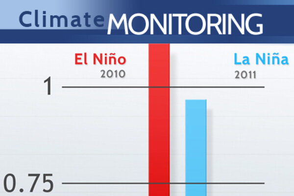
The Pushy Pacific: Variability and Change in Global Temperature
December 17, 2012
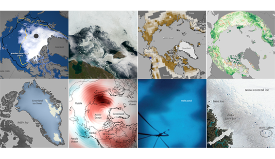
NOAA released the 2012 installment of the annual Arctic Report Card on December 5, 2012, as part of the American Geophysical Union's fall meeting. This image collection is a gallery of highlights based on the report's major themes. It was developed by the NOAA Climate.gov team in cooperation with Arctic Report Card authors and other Arctic experts.
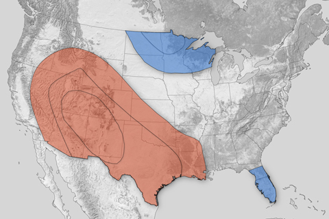
Much of the western and southern central United States could be in for a warmer-than-average winter this year, while the upper Midwest and Florida peninsula could experience colder-than-average temperatures. Most of California and western Nevada could experience well-below-normal precipitation, while parts of the southeast could receive well-above-normal precipitation.
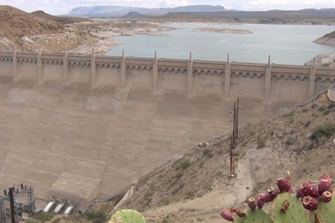
On the Rio Grande—historically the wellspring for more than five million people in Colorado, New Mexico, Texas, and Mexico—coping with scarcity has become a reality, and water management and use in the region may be a leading example of how to adapt to drier times
In the wake of historic flooding along the Missouri River in spring and summer 2011, NOAA scientists are exploring how climate patterns like La Niña and others can set the stage for floods or drought in the Northern Rockies and the Upper Great Plains.
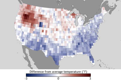
According to NOAA’s Climate Prediction Center, weak El Niño conditions may develop this fall. How might a full-fledged El Niño event this winter influence weather where you live?
