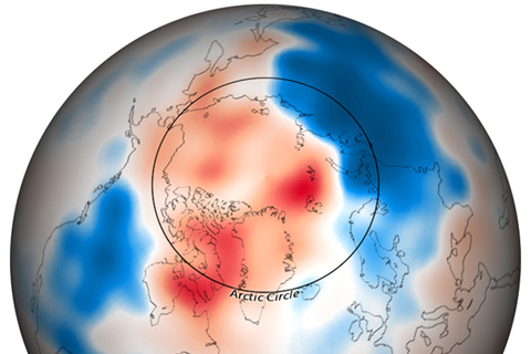
A wave of cold Arctic air gripped much of North America, Europe, and northern portions of Asia through the month of December 2009.
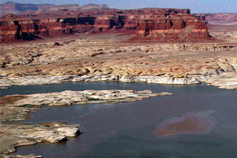
Two photographs, taken 18 months apart, show a significant decrease in Lake Powell during the most serious period of recent drought.
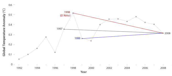
Has global warming stopped? That's what some people claim, based on global temperatures recorded since 1998. But, scientists say, not setting a new record high temperature each year doesn't mean the globe is cooling.
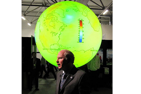
At the United Nations Climate Change Conference, Dr. Alexander E. “Sandy” MacDonald, of NOAA, used Science on a Sphere® to illustrate how climate change will transform the planet if humans do not reduce emissions of greenhouse gases.
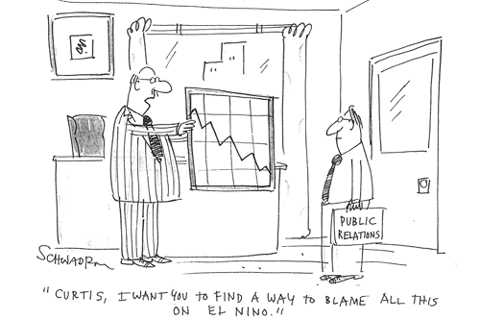
For years, people have been pointing to El Niño as the culprit behind floods, droughts, famines, economic failures, and record-breaking global heat. Can a single climate phenomenon really cause all these events? Is the world just a step away from disaster when El Niño conditions develop?
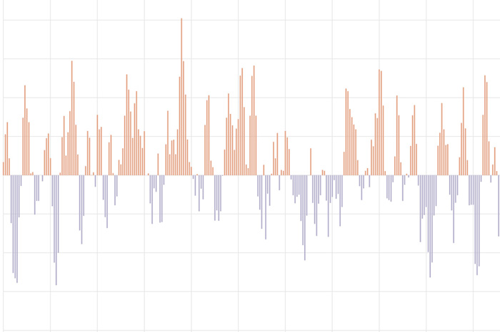
The Pacific-North American teleconnection pattern influences regional weather by affecting the strength and location of the East Asian jet stream, and subsequently, the weather it delivers to North America.
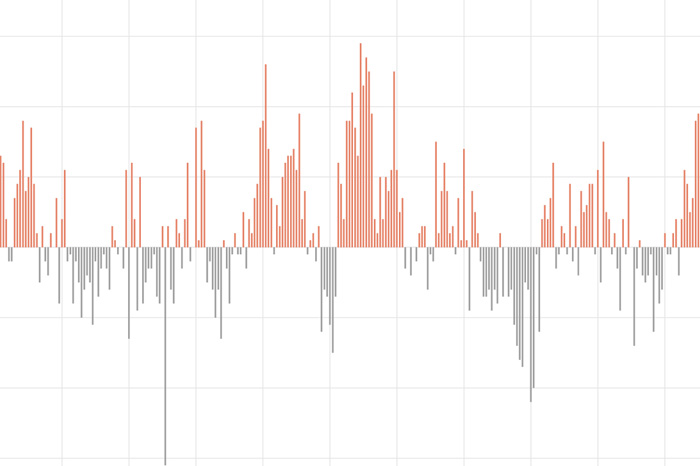
The Southern Oscillation Index tracks differences in air pressure between the eastern and western sides of the tropical Pacific.
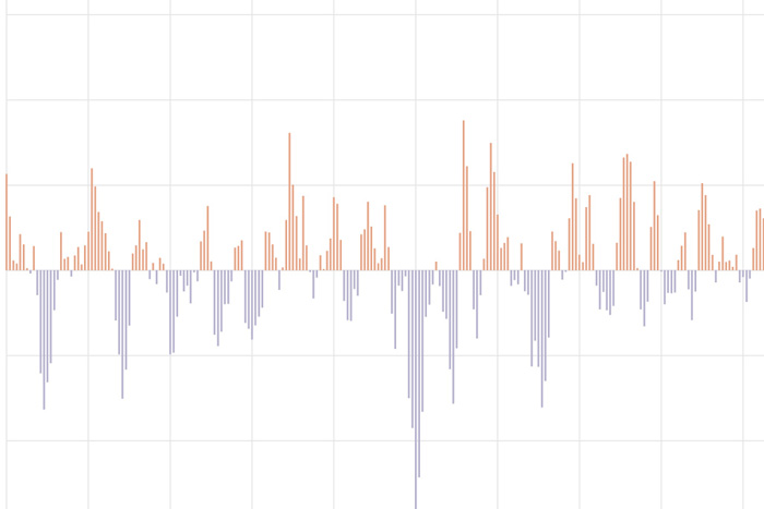
The Arctic Oscillation (AO) refers to an atmospheric circulation pattern over the mid-to-high latitudes of the Northern Hemisphere. The most obvious reflection of the phase of this oscillation is the north-to-south location of the storm-steering, mid-latitude jet stream.
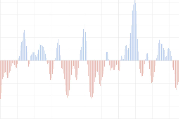
The Oceanic Nino Index tracks the sea surface temperature in the east-central tropical Pacific Ocean. It is NOAA's primary indicator of the climate patterns known as El Niño and La Niña.
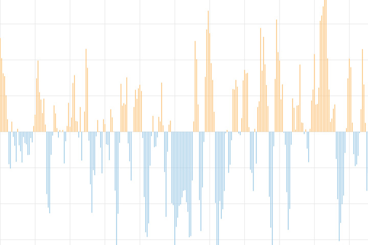
The North Atlantic Oscillation tracks a seesawing of surface pressure between two parts of the North Atlantic. Different phases often bring predictable changes in winds, temperature, and precipitation in the United States and Europe.