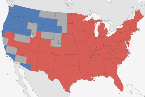
Now that the 2016-2017 winter is over with, it's time to look back and see what happened. Did our winter outlook do well?
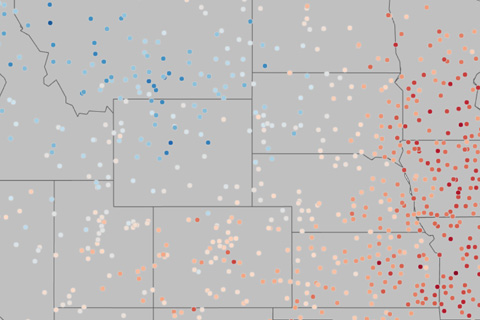
A new analysis allows non-experts to view 2016 and year-to-date climate data for thousands of U.S. locations.
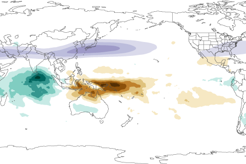
In this installment of our Beyond the Data blog, Carl Schreck talks about how a tropical climate pattern called the MJO left its fingerprints all over California's soaking rains and Boston's recent snowstorm.
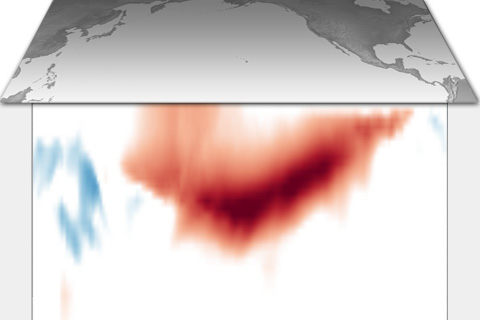
How much can forecasters say about ENSO during the spring? A lot depends on which phase—El Niño versus La Niña— the Pacific seems to be headed toward.
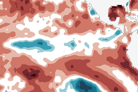
La Niña has ended. Our blogger covers what happened last month and what forecasters think is in store for the next few months.
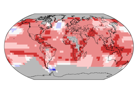
In 2016, the annual global temperature reached a record high for the third year in a row. How did this happen, and how unusual is it?
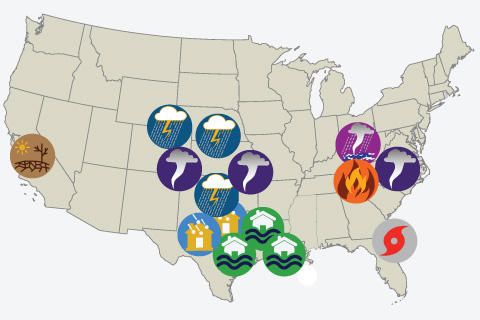
2016 saw 15 weather and climate disasters with losses exceeding $1 billion. How does that compares to history, and which disaster type was especially disruptive during the year?
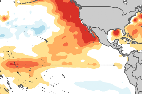
Are sea surface temperatures located north of the equator important for El Niño or La Niña development? Yes! Introducing the Pacific Meridional Mode.
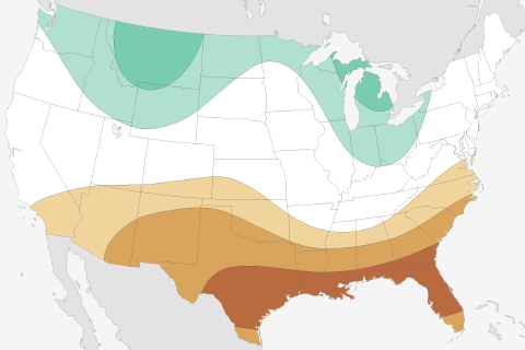
What are NOAA's predictions for this possible La Niña winter of 2016-17, and how did its predictions for last winter fare during the strong El Niño? Guest blogger Mike Halpert gives us the lowdown.
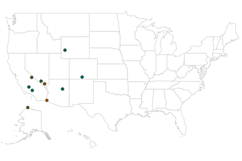
Unlike the United States' extreme temperature places, which are dominated by where you sit on a map, the extreme precipitation places tend to be dominated by what features are near you. We'll explore the driest and wettest places in the United States.