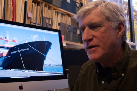
In October 2003, a little-known think tank in the Department of Defense quietly released a report warning that climate change could happen so suddenly it could pose a major threat to our country's national security. Why was the Pentagon worried about abrupt climate change? Because new evidence from Greenland showed it had happened before.
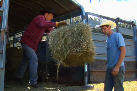
Working with private companies, the U.S. Department of Agriculture’s Risk Management Agency uses precipitation data from NOAA’s Climate Prediction Center as part of an insurance program for ranchers and those who grow hay or other livestock forage. This video describes how it works.
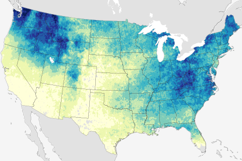
According to the 2009 National Climate Assessment, heavy downpours have increased in frequency and intensity during the last 50 years. Models predict that downpours will become still more more frequent and intense as greenhouse gas emissions and the planet’s temperature continue to rise.

Great Lakes ice cover most extensive since mid-90s
February 26, 2014
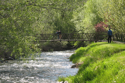
Water resources manager Laura Briefer describes how Salt Lake City’s Department of Public Utilities is using climate information to help plan for the city’s future.
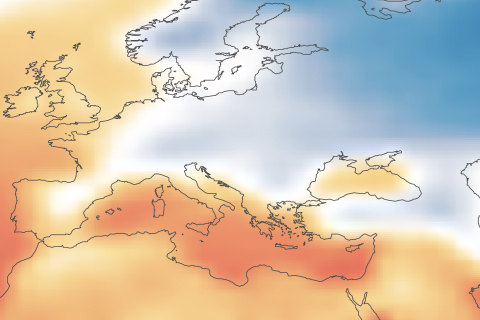
Sochi will be among the warmest cities to have hosted a Winter Olympic Games. Climate change could make many previous Olympic cities unsuitable for Winter Games by the end of the century.
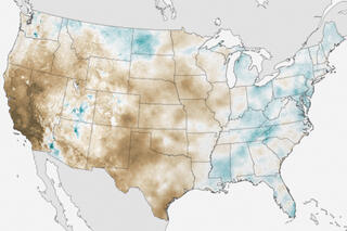
January precipitation deficits keep California drought outlook grim
February 7, 2014
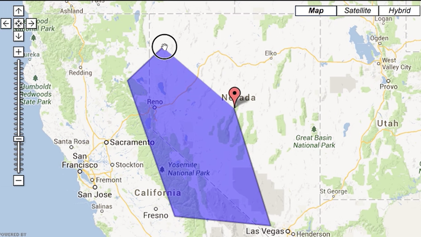
The WestMap climate analysis and mapping toolbox is an interactive, web-based tool that helps users see the climate conditions that underlie droughts, storms, floods, and changes in streamflow.

As climate changes in the Great Lakes region, the popular yellow perch–which some consider the ultimate pan-fried fish–may become much less common, potentially forcing consumers to adopt new traditions.
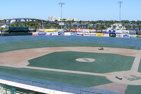
The CanVis tool from NOAA’s Coastal Services Center creates images of potential coastal changes, letting planners and citizens put changes in perspective before they happen.