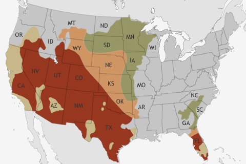
NOAA's Climate Prediction Center released its Spring Outlook on March 21. The big story for the upcoming spring? Relief for many drought-stricken areas of the United States is not likely.
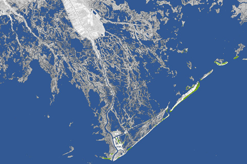
Every year, 25-35 square miles of land off the coast of Louisiana—an area larger than Manhattan–disappears into the water due to a combination of subsidence (soil settling) and global sea level rise. Toggle these maps back and forth to see how much land has been lost to the Gulf of Mexico in the past 80 years.
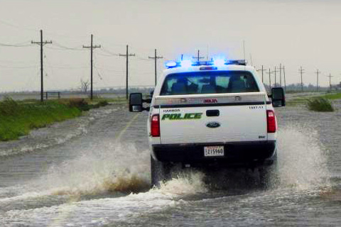
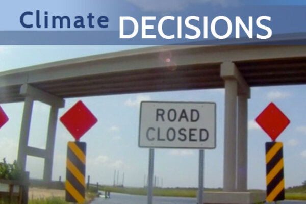
At the edge of southern Louisiana sits Port Fourchon—the hub through which 20 percent of our nation’s oil and gas supplies are distributed to the rest of the country. The only road leading to and from this major port is the Louisiana-1 Highway. A drive down the LA-1 through a vulnerable but vibrant coastal landscape shows what is at stake if ‘America’s longest main street’ fails to stay above water.
Windell’s Levee: Protecting a Coastal Community
November 27, 2012

Resilience and Energy: Coastal Management Ensures Supply
November 27, 2012
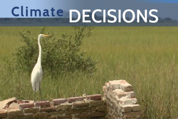
Leaving Leeville: Losing a Coastal Community
November 27, 2012
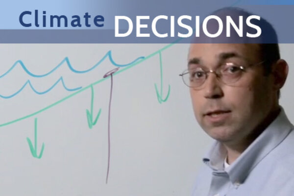
Everything’s Moving: Relative Sea Level Rise Explained
November 27, 2012
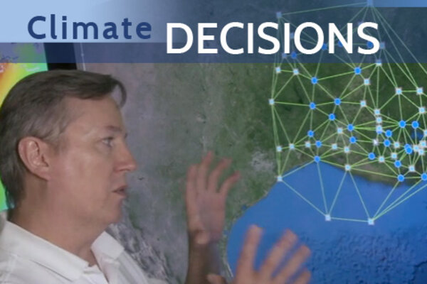
Advanced Coastal GPS: Immediate Data, Immediate Decisions
November 27, 2012
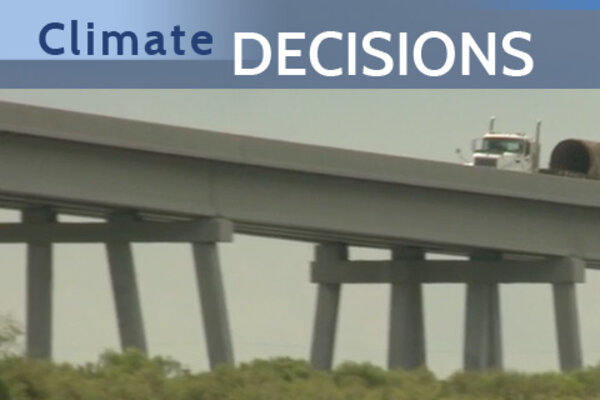
Built to Last: Climate Data Ensure Oil Supply Route
November 27, 2012
Ground Zero for Sea Level Rise
November 27, 2012