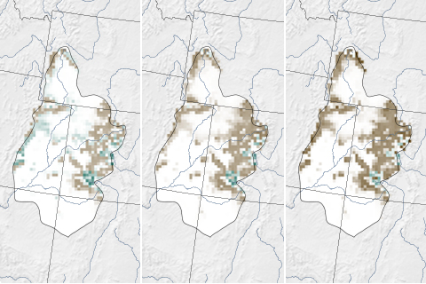
Models project that extreme dust events combined with global warming could advance the spring thaw in the mountains of the Upper Colorado River Basin by as many as 6 weeks by 2050. The earlier disappearance of snow could amplify water disputes, extend the fire season, and stress aquatic ecosystems.

The U.S. Drought Portal offers access to maps, data, and expert assessments through easy-to-use tools designed to help decision makers monitor, plan for, and recover from water shortages.
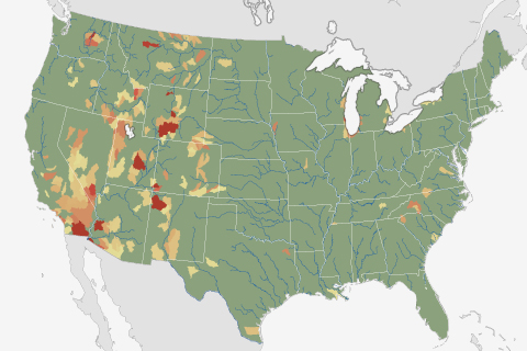
Nearly ten percent of U.S. watersheds are living beyond their means when it comes to their water supply. For nearly half the country, water stress is projected to worsen by mid-century because of climate change, according to a recent NOAA-funded analysis.
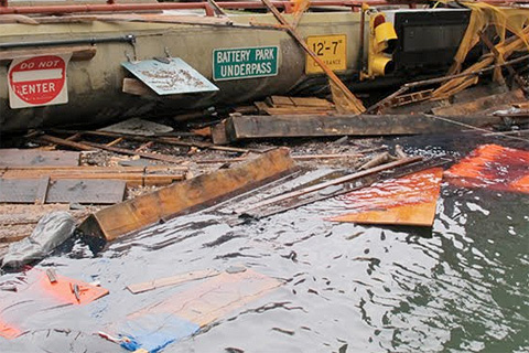
Stunned by Sandy's devastation, the city of New York undertook an ambitious project: to update its long-term sustainability plan using the latest climate science. Their goal was to understand how much sea level could rise, how soon, and just how vulnerable the city would be if some of the more extreme climate change projections turn into reality.
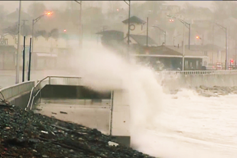
Developed by the NOAA Coastal Services Center, the sea level rise viewer offers access to data and information about the risks of sea level rise, storm surge, and flooding along the coastal United States. The Web-based map has the potential to help people build (or rebuild) in a more resilient way.
Explaining the NOAA Sea Level Rise Viewer
October 29, 2013
After Sandy: Facing the Future
October 29, 2013

After Sandy: Changes and Choices
October 28, 2013
Sources and Cycles: Balancing Water Needs
June 10, 2013
Worried about Water? Tracking Climate Assures Supply
June 10, 2013