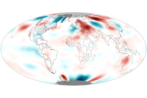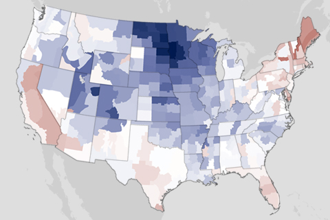
For the first six months of 2013, the contiguous United States has been nearly split in half by temperature and precipitation differences. Much of the East has been dealing with below- or near-normal temperatures, above-normal precipitation, and flooding while much of the West has been dealing with above-normal temperatures, below-normal precipitation, and drought.
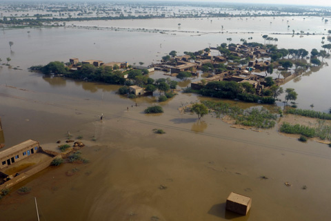
From devastaing fires to the year's strongest cyclone, explore this interactive map of significant weather and climate events documented in the State of the Climate in 2012 report.
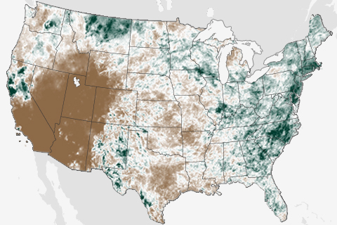
They say the grass is always greener on the other side of the fence, and that was certainly true in June. Throughout the month, two very different stories played out in the contiguous United States. While the drought-stricken West fell into the grips of an intense heat wave, East Coasters were bombarded by summer thunderstorms.
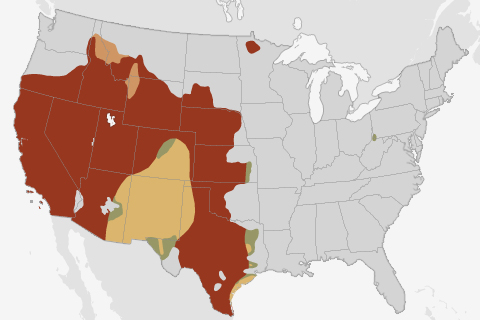
Summer thunderstorms are likely to improve drought conditions in the Southwest, but drought will likely persist across much of the West.
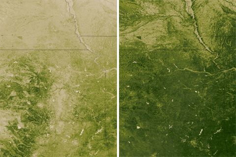
A plant is a sophisticated climate-observing device. These satellite maps of the central and southern Great Plains during the week of April 8, 2012, and 2013 show how plants in the heart of the U.S. winter wheat croplands "measured" dramatically different climate conditions this spring than last.
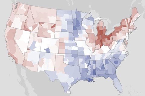
May 2013 temperatures were slightly warmer than average.
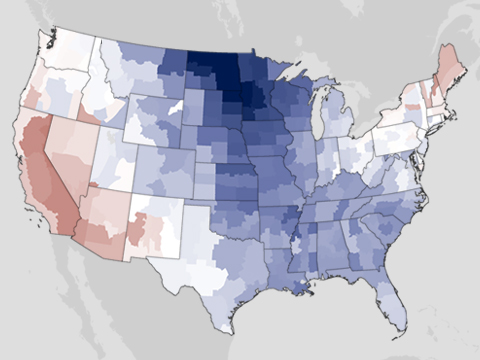
Until a warmer-than-average May, spring 2013 was reluctant to arrive for a majority of the United States. The country’s overall average spring temperature was the coolest since 1996, and it was also the first season in the contiguous United States that the seasonal temperature was below average since the winter of 2010–2011. In addition to cool temperatures, spring brought both wet and dry precipitation extremes to areas across the nation.
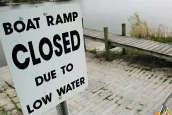
Sources and Cycles: Balancing Water Needs
June 10, 2013
Worried about Water? Tracking Climate Assures Supply
June 10, 2013
